Showing posts with label Delta County. Show all posts

Huron Mtns Trip, Pt. 13: “Two Bridges Too Far”

October, 2012.

Return to Part 12

Day 7, continued.
Leaving Kingsford behind, I knew of a potentially disused railroad bridge just a few blocks away in Breitung that might prove entertaining. It spanned high across the Menominee River to Wisconsin, but we would probably have to hike about another mile along the tracks.


Here we were. The rails were a little shinier than I would’ve liked, but so far no signs of impending danger.


I walked out to approximately the state line before turning back.


Recalling how my comrade Devnull met his end, I didn’t want any of that so I scramdaddled the hell out of there.


Looks like a few good bonfires may’ve been lit up here as well, by the scorch marks:


According to an article in the Iron Mountain Daily News, three Michigan teenagers were killed (and a fourth wounded) under this bridge while swimming on July 31st of 2008 by Army veteran Scott Johnson, who was shooting at them with a rifle from the Wisconsin side.

I had no idea this tragedy occurred there until I began writing this post, as there was no memorial present at the site like you usually see in Detroit. An NBC News article goes into even more gory detail on the killer's motives. It even made it into the New Yorker.


Johnson later mentioned the bridge again in a speech he made before he was sentenced. “The train bridge has been washed in the blood that I spilled,” he said. “The beauty of that place has been cursed by my actions. My memorial is made of iron and concrete.”

Yikes.


Anyway, moving on to less-grisly matters...

The Historic American Engineering Record says that the Chicago, Milwaukee, St. Paul, & Pacific RR reached Iron Mountain in 1886, so this is probably the second bridge built on this site, completed in 1902. 


The date 1902 was stamped into the concrete of this footing:


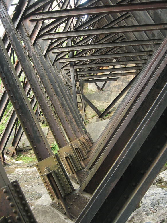
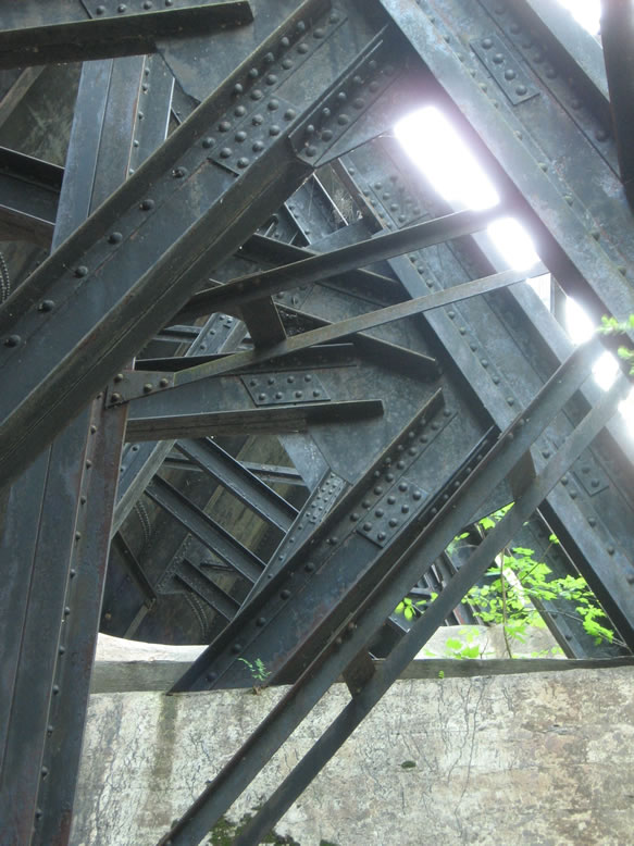
According to HistoricBridges.org the span is historically significant, and has a span length of 207 feet. They note it was also used by the Escanaba & Lake Superior RR, and call it "one of the most unusual bridges ever to be encountered." They then launch into a very technical description of why this is, which I admittedly skimmed through, but can be read in full by clicking the link.


The reasoning behind the unorthodox design, HistoricBridges asserts, was that it "reduced the materials required for the bridge, while also avoiding unwanted stresses that were present in other designs." It was also chosen due to the steep geography found here.

Not sure what this sticker says...CITY OF CHICAGO?


We now continued toward Menominee, da Yoopee’s southernmost city, by shooting down US 41. My plan was to take M-35 along the lakeshore to get back up toward Escanaba afterward. As you can see by that map, Menominee is at a latitude about equivalent to that of Gaylord, in the Lower Peninsula. Not too many parts of da Mitten can claim to be fur’der norf dan da Yoopee, eh.


Just before rolling into town we spotted this old schoolhouse. Anxious to explore something in a new county, I sent Navi to scope it out real quick, but he reported it to be full of stored auto parts belonging to the mechanic’s garage next door. As I would later learn, this schoolhouse belonged to the now defunct village of Wallace.

On we continued, until a cool old factory caught our eye:


Apparently a still-operating furniture factory. Home of da Lloyd Loom since 1906, eh! Moving on toward downtown, we stopped at the Menominee County Courthouse, our fourth one of the day:


Had we been here a year or two earlier, we might have had our way with an abandoned Lloyd Theater, but signs of impending renovation were evident:


Respectable downtown:


We decided to hit up the Menominee North Pier Light before getting grub and beers:


Nearby we scoped this old bucket tied up to the Wisconsin side of the river:


It was a cold, windy motherfucker outside today, so we hastened over the bascule bridge for a quick couple pics before racing back to the Michigan side for a warm bar. View up the Menominee River:


By the style of the hull, I would guess that this boat could be up to 100 years old.


The topography barely visible on the horizon here is that of Wisconsin’s Door Peninsula:


This was also my first real look at Green Bay.

The ship is the former William H. Donner, a freighter that was launched in 1914, and in the 1990s ended its life here, converted for storage use. It was towed to be scrapped at the Soo in 2020.


We didn’t see any easy way on board, and it seemed to still be in active use as a storage unit of sorts, so we turned and walked back to Michigan, past the proudly still-operating paper mill.

Wasting no time after dinner we headed up the shore to the north side of Escanaba where I knew of an old crumbling ruin of a bridge spanning the river. Again we were racing the sunset, but as we were making our last turn to get to this now disconnected neighborhood, we halted in our tracks at the sight of an unexpected ruin of considerable size:


We were so caught off-guard that after trading the quick raised-eyebrow glance that only serial trespassers like us can trade, we decided to go do the bridge real quick first, then come back to this hulking plant that sat across from some potentially watchful houses.


This bridge looks like it used to connect a small residential neighborhood to the rest of Escanaba via North First Street, but for whatever reason that must no longer have been important at some point. 


The Historic American Engineering Survey (HAER) called it the "County Route 517 Bridge" in the c.1978 report on the Upper Peninsula. It was built in 1911 they wrote, a massive concrete girder bridge that was "in ruins" even back then, with its southernmost spans removed. The 16 spans still standing at that time measured 630 feet long and 20 feet wide.


Now it drops massive chunks into the Escanaba River while trees take root in its ever-narrowing roadbed.


Even the steel railroad trestle next to it is of a unique old-school type, and still used. Beneath it, and on the other side of it you can see the ruined footings of apparently even older bridges:


Some dude commented on my Panoramio photo of this truss bridge, saying that this steel "lattice-through-truss" design was common on the Chicago & Northwestern RR, so it may have been built by them for the Wisconsin Central RR.

The HAER confirms this, saying that it was built by the Lassig Bridge & Iron CO. of Chicago in 1892.


We discussed the ruined building we had passed on the way here, and the fact that as we passed it we saw an open gate where we could drive right the hell in, despite a few NO TRESPASSING signs.


We decided that this was the best course of action—a lightning assault; a quick go in and get out, since the sun was about set anyway. Run through and get our pics and leave before anyone had a chance to react to our presence.


Turns out this is the former Delta County Roadhouse, or so I've been told...


...So now I have to wonder if the closure of this place was what subsequently prompted the disuse of the County Route 517 Bridge, since nothing much else remains in this corner of town besides a few houses, and since the road commission would have been the very agency responsible for the bridge's upkeep anyway.


They were both probably done away with as a cost-cutting measure, and the road commission moved to a newer facility in a better location that wouldn’t need a bridge.


Too bad for the residents in that neighborhood, I guess. Now they have a place for their kids to skateboard and drink Old Style.


I think every budding teenager needs an abandoned ruin to play around in. It's the Michigan way.


Unfortunately I can't find any sources readily available talking about this site in depth, or confirming what it actually is.


The complex was actually quite large:


I imagine this is where Delta County’s fleet of massive wing plows were parked, awaiting the call to do battle against the White Plague.


Speaking of the White Plague, we were only 12 hours away from seeing the first snowfall of the year, and it was only October 4th!


Oh hey, there’s Lake Michigan:


Specifically, that’s Little Bay de Noc. It was now nightfall, and we were feeling the cold in our shutter-fingers, so retreat was in order. I had designs on stopping to see the ruins of the Nahma Burner along US-2 on our way back to the Mackinac Bridge, but it would be dark well before we got there, so I’ll save that for another trip. Our plan was to get a motel in the Manistique area that had TV so Navi could catch another sports game.

CLICK for part 14


References:

Of Stamps, & Smelters (Part 1)

Upper Peninsula, May 2007.

I resolved to execute a trip back to the Houghton area as soon as spring sprung in da Yoopee, to find some new ruins that had been brought to my attention. I also wanted to finally check out the ruins of the Fayette State Park, which is a "preserved" ghost town.

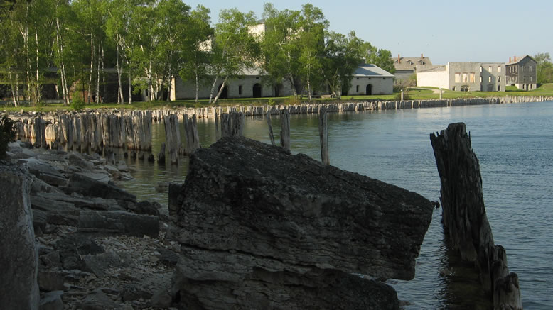
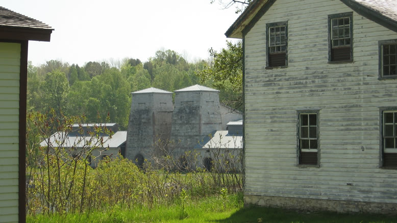
Fayette used to be a disgusting industrial hellhole based around an iron smelter for the Jackson Iron Co., and for a long time after that business dried up, it sat forgotten. Now its ruins are a tranquil, beautiful state park. It's located near the bottom tip of the Garden Peninsula, which juts down into Lake Michigan. This is one of the more remote places in da Yoopee. 


My plan (as always) was mostly to just "wing it" though there was some suave calculation on my part; I struck during the week before Memorial Day weekend, right at the beginning of Bug Season. Why have I capitalized "Bug Season?" Because it's a "thing" here.


The week before, while I was looking (unsuccessfully) for the ancient stone ruins in Negwegon State Park south of Alpena, I could just see clouds of mosquitos riving around like wisps of smoke. And I heard a sound like the high-pitched whine of big truck tires at high speed on the interstate. Then it occurred to me that I-75 was much too far away to be heard. The sound was that of the googolplexes of swarming mosquito wings. Thank god I was wearing 100% DEET, or I would've been sucked so dry by those bastards I woulda been nailhed-style jerky.


Anyway, going during dreaded Bug Season (and during the week) means no tourist traffic clogging the freeway. And before Memorial Day means no demented hike on gas prices. I slept in my car at Naubinway like usual, then continued on in the morning. The outside of my car had become encased in mosquitoes overnight.

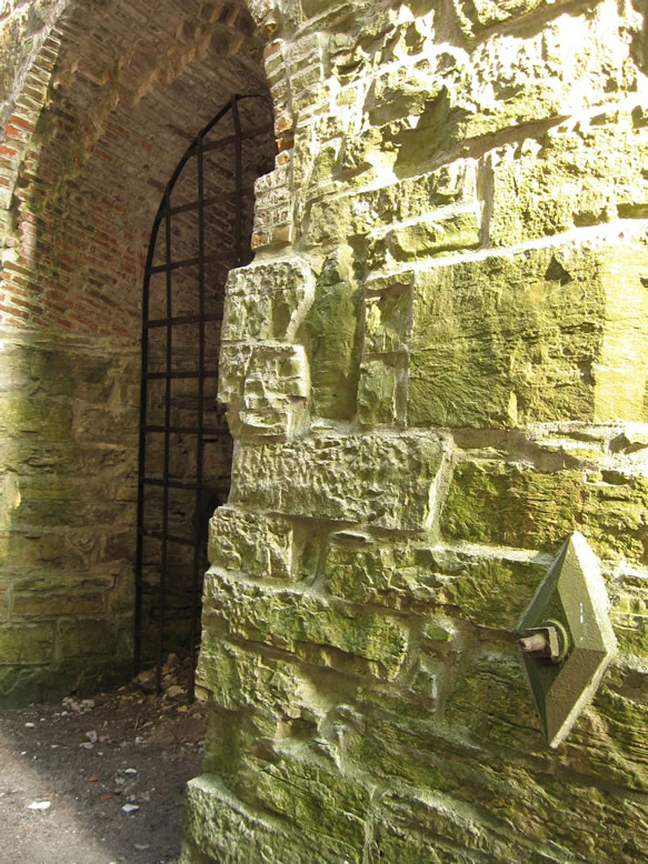
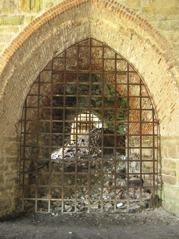
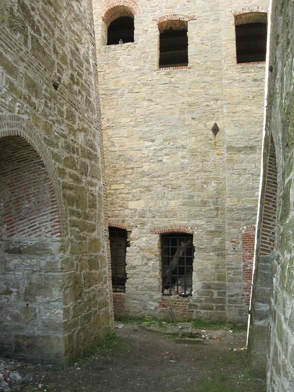
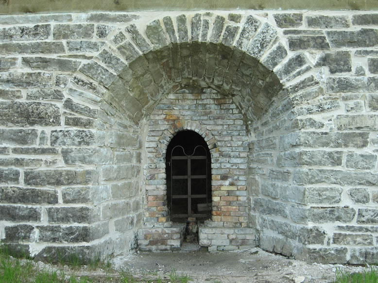
Here's one of the furnaces:


The iron mining operations of Michigan existed in two main areas, the Gogebic Range in the southwestern Yoopee, and the Marquette Range in the central Yoopee. Iron ore mined in the Marquette Range would be sent by rail to the ports of Lake Superior (mainly Marquette) where it would be loaded onto freighters, and ore mined in the Gogebic Range would be sent by rail to ports on Lake Michigan (mainly Escanaba). Thus, each range served a different market, and accordingly, different steel-making cities.

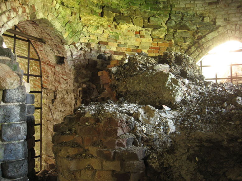
Inside, it looks like there's still some slag left behind:


But often, in the early days before the transportation lines were able to support very much capacity, iron was smelted before it was shipped to the steel mill. That way there was not as much material to load onto a ship once it was purified, so little smelting towns like Fayette grew up along the shores of the lakes where it was convenient to do so. One thing that was needed was plenty of timber to feed the charcoal kilns, which in turn produced charcoal to fuel the smelter. A supply of quality limestone was also needed. Fayette filled that bill perfectly.

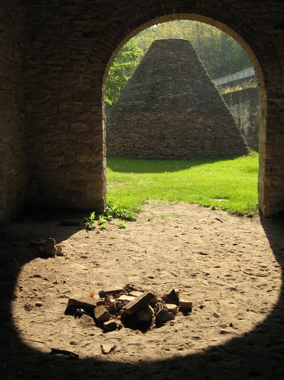
Just outside the furnace building was a set of charcoal kilns; conical structures that used to be a much more common sight in the Upper Peninsula of yore:


As ships got bigger and more numerous, the shipping lanes got safer, and the forests got depleted, iron smelting faded away from the Yoopee, leaving behind these monolithic ruins. Through the late 1800s when these sites were left to moulder, the hollow-domed structures of the charcoal kilns easily caved in, while the heavy-duty furnaces remain mostly intact.

Just beyond the charcoal kilns was a small lime kiln as well, for a complete set:


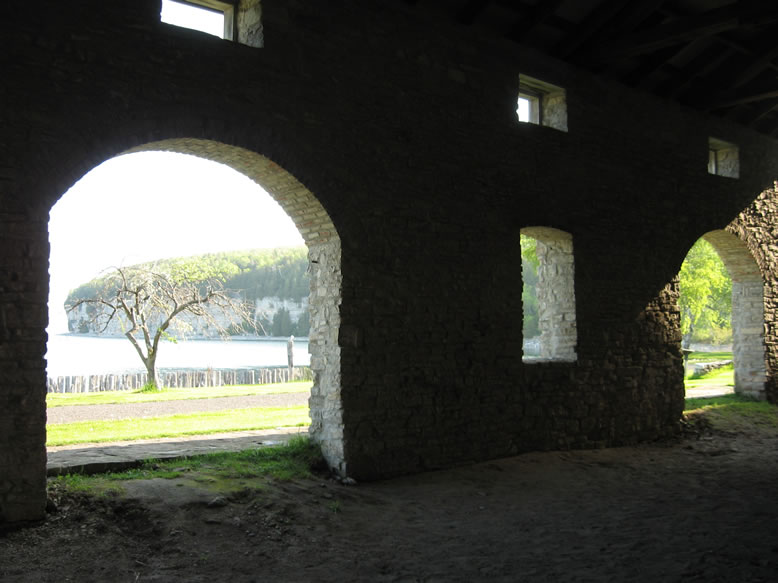
Jackson Iron Co. built the Fayette Smelter in 1867 and it operated until 1891 when the nearby forest was nearly used up. The Jackson Mine itself closed in 1901, and was later bought up by Cleveland-Cliffs. Oddly enough however, the eerie ruins and ghost town that remained here became a sort of tourist attraction after the turn of the century. Boats full of tourists, vacationers, and early ruin pornographers came from Escanaba often enough to justify keeping the town's old inn open for many years thereafter:


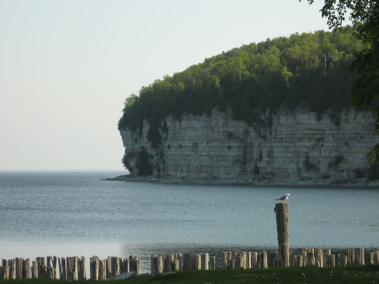
I walked the shattered limestone shoreline for a couple miles around the entire harbor, and basked in the pristine solitude for several hours.


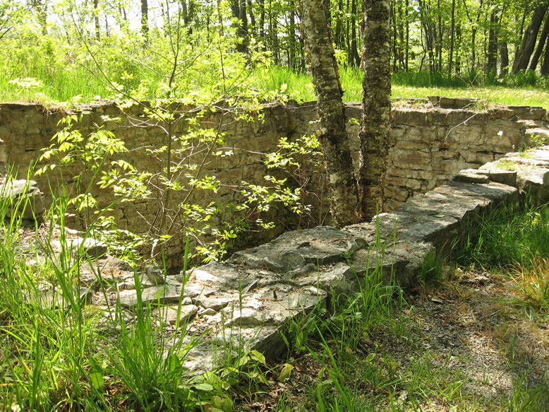
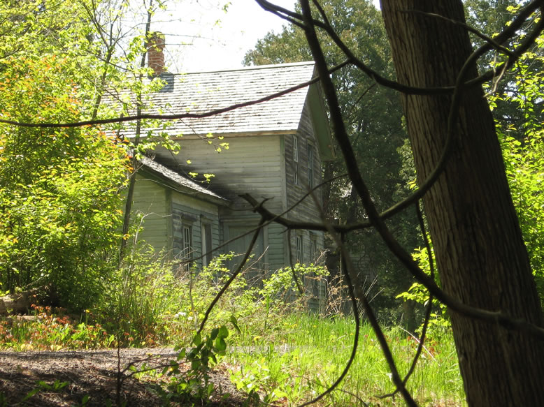
There were many old foundations scattered in the woods along the peninsula, that used to belong to the houses of the village:


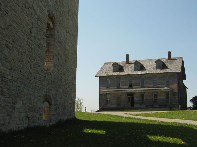
Some were still standing:


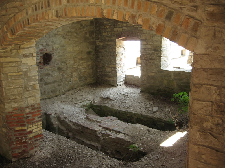
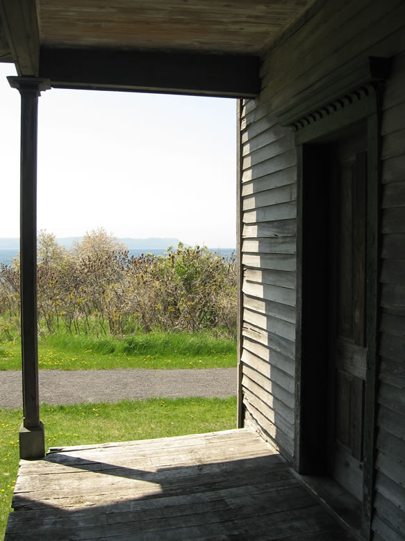
One was accessible...

Archaeology is even being conducted in many areas of the site:


From Fayette I trekked to the Superior shore on M-94 and arrived in Copper Country by evening. As I was cruising along Lake Superior outside of L'Anse, I saw a huge Bald Eagle soaring down along the beach. I'd always known they hung out up north and could be found, but it was crazy to see one cruising next to my car as I drove along the pristine beach.

Before sunset I made it out to Freda, an absolutely minuscule settlement that has been classified by some as a ghost town, though about 20 people still live there on the shores of mighty Lake Superior. I came to check out the ruins of the Champion Stamp Mill there. 
 

There are the ruins of four other stamp mills in the immediate vicinity, belonging to the Atlantic Mine, Baltic Mine, Adventure Mine, and Trimountain Mine, but they are all on private property, so I was forced to pass them up for now. Naturally, the Champion Mill processed ore from the Champion Mine.

Anyways, there is a cliff with a veteran's monument overlooking the ruins of the Champion Mill on the lake. Reading through the names of Freda's war dead from WWII, Korea, Vietnam, etc., I noticed that there were often several in a row with the same family name. Almost all of the names were Finnish.
 

Copper County Explorer explains that the Atlantic Mill was built first, in 1895, and the rest were built by 1901. The Champion Mill was the only one of the five to survive until the end of the Michigan copper mining era in the 1960s.


The many ruined concrete nubs you see in this vast open space once held machinery that was (believe it or not) all contained under one roof. The machinery that broke down the copper ore into finer and finer pieces started at the top where it was dumped into the mill from an elevated rail line, and as it was refined the ore was moved down to each successively lower level of the mill to undergo different operations.


Naturally, stamping copper ore into slime required a lot of water (to pollute), so any stamp mill worth its salt is going to be located near a large lake. 

Just up the trail from the mill ruin were some pretty impressive sandstone cliffs:


From Freda I went to the very nearby Redridge (an even smaller town) to check out the old Redridge Dam. It was built in 1901, meaning that I was visiting it on or about its 106th birthday. With five gargantuan stamp mills clustered on this part of the Superior shore all chugging away at full force a vast supply of water was needed, so they created a reservoir on the Salmon Trout River.


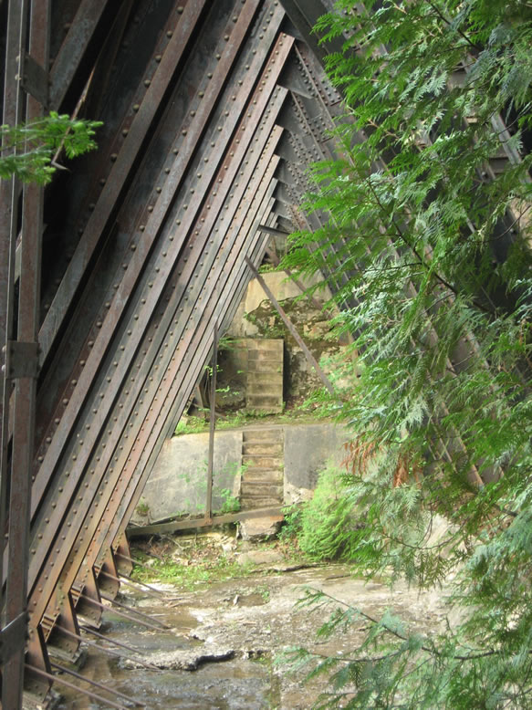
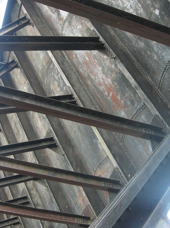
Redridge Dam is unique; there were only two other steel dams ever built in America. One was in Arizona, and one was in Montana, marking a period of a couple years where steel construction was tinkered with as a method for dam-building, because it could be constructed more quickly and cheaply than a masonry dam. 


What sets Redridge apart from the other two is that instead of having its supports anchored into bedrock, it needed a concrete foundation due to the local sandstone here being too brittle to use. It was designed and built by the Wisconsin Bridge & Iron Company. By the way, the dam in Arizona failed in 1908 and was destroyed, so only Michigan's and Montana's steel dams remain today.


"In 1888, the only dwellings at the mouth of the Salmon Trout River were five wigwams," Lawrence Molloy says in Guide to Michigan's Historic Keweenaw Copper District. By 1894, they were gone; the first timber dam here was constructed that year by the Atlantic Mining Co., whose stamp was the first one built in this area. But of course as they expanded and the Baltic Mill joined the scene, a bigger reservoir was needed, which was when the massive steel wall you see here (and the elevated railroad line crossing it) came into being.

One would think that a stamp mill built on Lake Superior would just pump its water straight from the lake, and most of them did. But for whatever reason, the first two mills that were built here--Atlantic and Baltic--chose to build a dam all the same.  


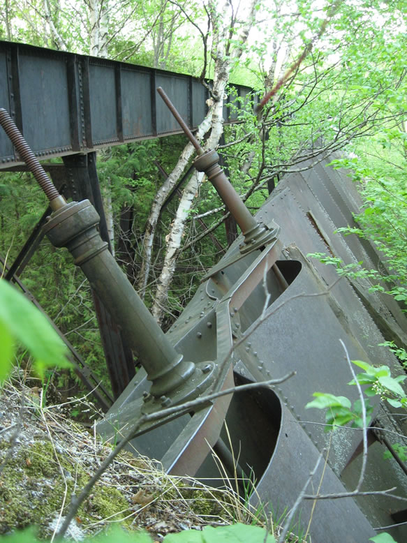
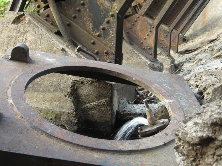
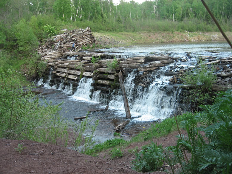
After the mines of the southern copper range closed, the engineers ceased maintaining Redridge Dam, and left its valves open to allow water to pass through safely. But there were still times when it would flood, such as on Easter morning of 1941, possibly due to a sudden snowmelt. Finally, rectangular holes were cut in the bottom of the dam in 1979 to drain the reservoir and keep the water level down. When that happened, the original c.1894 timber dam behind it was revealed once again:


After I was done ogling the forest of iron that makes up the dam's supports, I slept in my car again partially because there were no campsites around, and partly to avoid the mosquitos.


References:
http://www.coppercountryexplorer.com/explorations/mills/champion-mill/
Guide to Michigan's Historic Keweenaw Copper District, by Lawrence Molloy
Upper Peninsula of Michigan, An Inventory of Historic Engineering and Industrial Sites, HAER, 1978