
This post is continued (belatedly) from my Drummond Island series, which I posted several weeks ago. Having better figured out exactly where the ruins of Fort Drummond were, I recently returned to locate them. Fort Drummond was a crude, fortified settlement that was built on the western tip of Drummond Island, Michigan by the British Army after the close of the War of 1812 when they were forced off of Mackinac Island by treaty. They took up residence at the next closest location to the shipping route that they believed was outside the American border. Fort Drummond was built in 1815, and included a settlement known as the Village of Collier (or Collyer). It was later found however that Drummond Island was actually an American holding, and the British were forced to abandon the site in 1828, making this probably the last piece of American soil ever held by a foreign power, if I am not mistaken (or at least by the British Empire in Michigan).
Fort Drummond then succumbed to the ravages of nature for two centuries. The great explorer and State Geologist Douglass Houghton (who famously discovered copper in the Keweenaw in the 1840s) sailed past the fort in 1831 on his way into Lake Superior and reported, eerily, “From the water, it has the appearance of a delightful village, but it does not contain a single inhabitant.” There were over 50 buildings standing at that time. In 1896 an expedition to Drummond Island discovered the ruins of the fort's chimneys standing like tombstones, a forest fire having undoubtedly swept over the island at some point. There are photographs online of that expedition, taken from the book Drummond Island: The Story of the British Occupation, 1815-1828, by Samuel Fletcher Cook.

In order to mount my own expedition, I studied the old maps more closely than I had on my first go-round, and compared them to aerial imagery. As you can see, the large dolomite quarry has pretty much engulfed most of Drummond Island's western tip, and I fear that what few substantial fortifications that Fort Drummond once comprised have been lost.
I think that by the early 1900s any of the wooden structures that might have still been standing were probably torched by vandals or just completely rotted away into nothingness by the brutal maritime weather of this frigid region. James Strang, the Mormon King of Beaver Island, even wrote that many of the "newer" structures on Mackinac Island were built of materials pilfered from the leftover buildings after the British vacated Fort Drummond. Nonetheless I felt that some of the stone chimneys and foundations should still exist and be locatable. The task was a little more challenging than I had hoped.
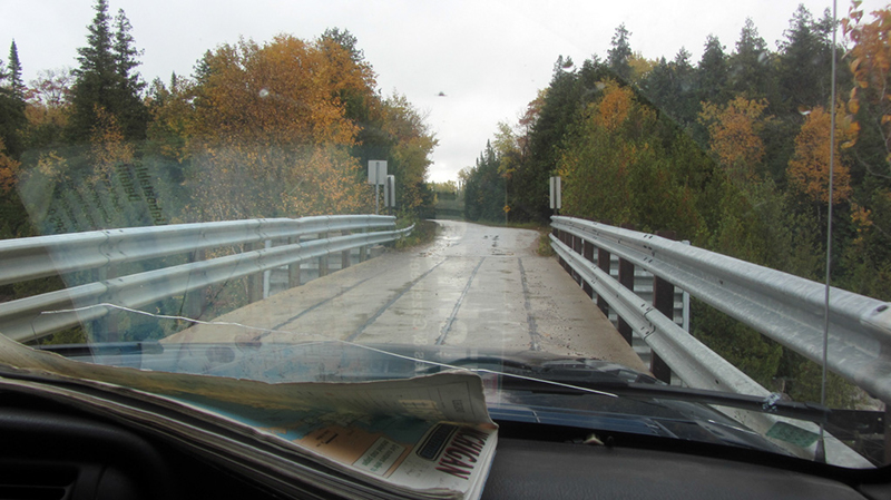
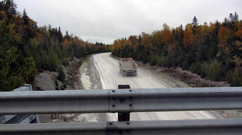
First, we drove across a narrow bridge where giant off-road dump-trucks roared beneath us from the quarry, and toward Whitney Bay.
Almost all of this area is private land, so we had to be careful what roads we drove down. I also understand that some of the current residents have built their houses here upon the old foundations of the British-built houses from the fort. Almost immediately we came across a large chimney ruin, though we immediately realized we were in fact in someone's front yard, so we turned around after snapping a quick photo:

We continued our search by diving into some nearby woods where I believed the Village of Collyer to have been located. I assumed that was our best bet for finding ruins or evidence.
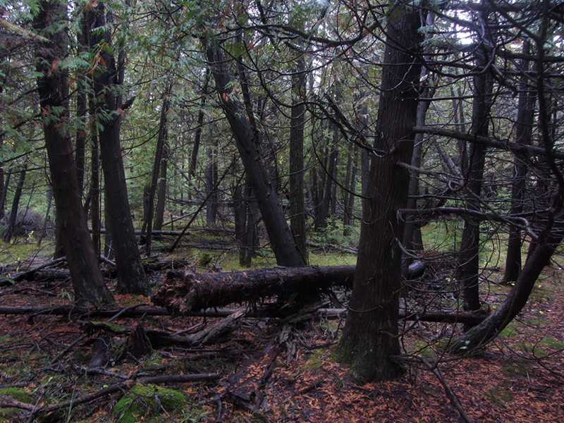
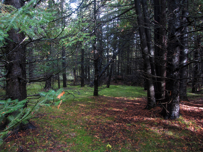
It was raining a little bit and the atmosphere in the drippy woods on this autumn day was really something else. The scent of the balsam and cedar trees was as pungent as potpourri. A spongy moss carpet spread across the forest floor completely eliminating any brush, which was very nice, but the ground was rather mushy...seemingly a little too mushy for there to have ever been a village here, but I trusted my research and forged ahead.
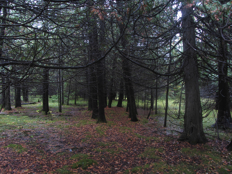
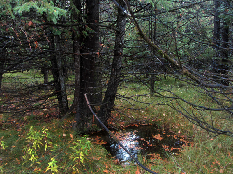
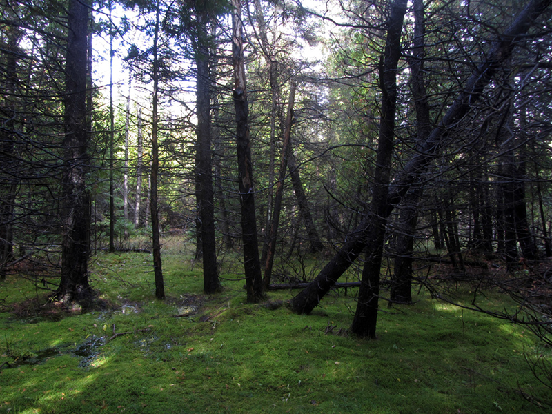
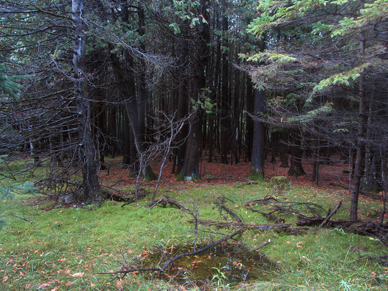
It wasn't long before we noticed that there seemed to be a lot of odd holes in the ground that had filled in with water, all of them about the same size and vaguely rectangular in shape:
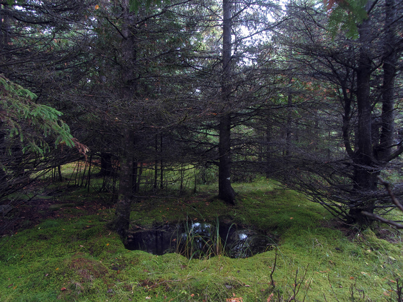
Could they be cellars or foodstuff caches of some sort? They weren't very big, maybe four feet across at most, and less than a foot deep.
They definitely seemed manmade, at any rate:
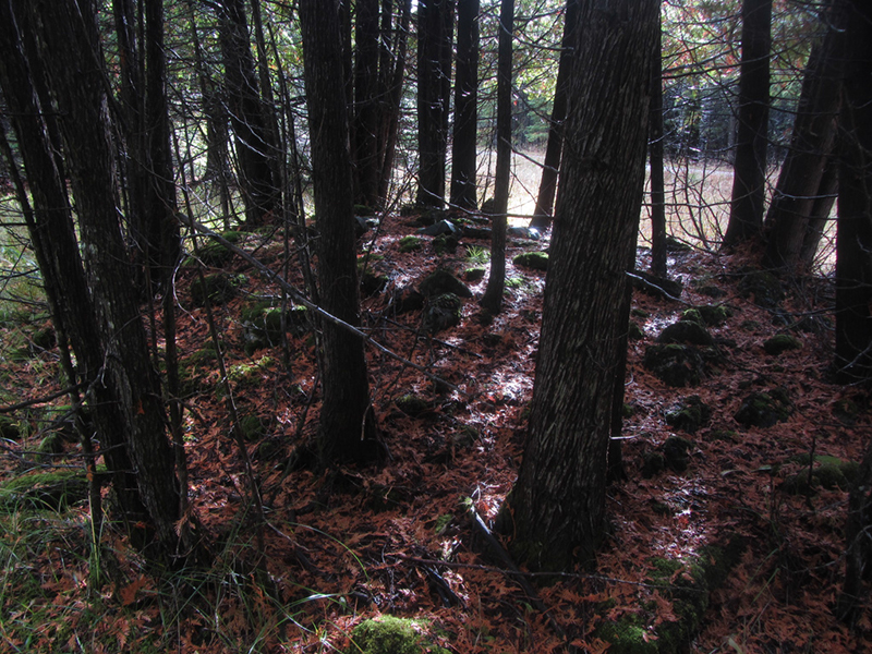
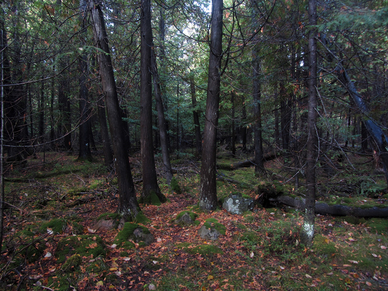
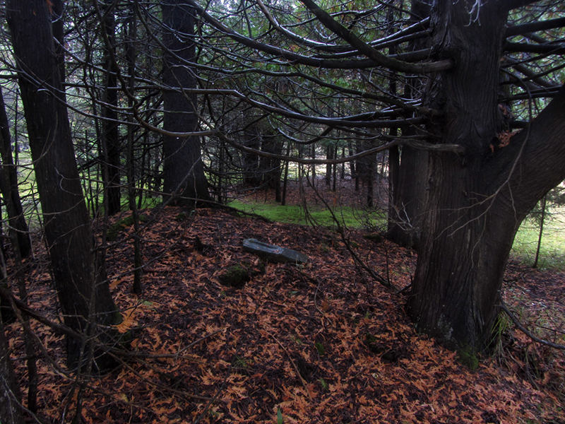
We also began to see some old fruit trees most likely planted by the inhabitants, as well as a lot of these mysterious piled stone cairns:
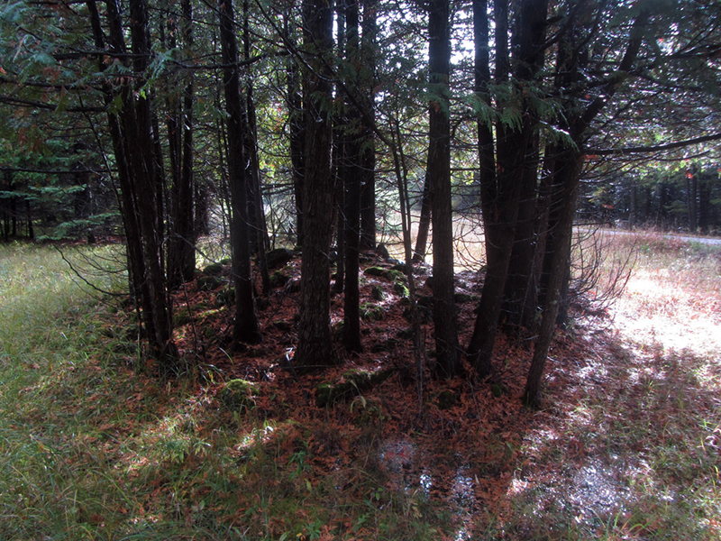
This made me second-guess my research to wonder if this side of the village had been cultivated land as opposed to rows of houses. So far we had seen nothing that looked at all like it had once been a structure. I couldn't imagine anyone trying to farm this rocky, flooded terrain however. Then again I couldn't see anyone building houses in this wet area either. Perhaps 200 years ago it was drier?
The upper Great Lakes played an important role in the War of 1812, and the events that led to the founding of Fort Drummond transpired almost exactly 200 years ago. After the U.S. naval squadron trying to retake Fort Mackinac from the British in August of 1814 was repulsed, Commodore Sinclair decided to cut the British off instead. Sinclair sent part of his force back to stand guard at the Detroit River, while he sailed on to Georgian Bay with the ships Tigress, Niagara, and Scorpion to sever British communications with Toronto at the mouth of the Nottawasaga River.
They also aimed to hunt down the sole remaining British vessel still at large, the “now-legendary” schooner, HMS Nancy. The elusive ship was the only British vessel to survive the Battle of Lake Erie and had reportedly been haunting northern Lake Huron. A prisoner captured by the Americans during the Second Battle of Mackinac Island had spoken of the whereabouts of the Nancy, indicating she would be in Georgian Bay.
The British had erected a small temporary blockhouse at the mouth of the Nottawasaga. When Commodore Sinclair's squadron arrived, they found the Nancy docked in hiding there as well! The U.S. ships prepared to shell the post, but the scant ragtag British force retreated, leaving both the blockhouse and the Nancy as towering torches blazing in the night, so as to prevent their capture by the Americans. The Nancy was loaded down with fresh rations bound for British-held Mackinac, and the blockhouse contained large stores of gunpowder that were used to detonate the ship. Commodore Sinclair then sailed for Detroit aboard the brig Niagara, leaving the Tigress and Scorpion behind to patrol the Georgian Bay, and make sure the Nancy burned down to her keel. That ship, built at Detroit in 1789, has since been immortalized in a song by Stan Rogers.
Lieutenant Worsely, the commander of that British post at Nottawasaga was not done yet, however. He made his way back to Fort Mackinac by canoe, where he obtained four small boats and 92 soldiers to accompany him on perhaps the most remarkable cutting-out expedition of the war. They caught up with the Tigress off Drummond Island on the night of September 3rd, 1814 and a battle ensued, resulting in some losses on both sides, after which the Tigress was taken by the Brits.
Two nights later, the Scorpion came to anchor alongside her sister ship there, not knowing that she had fallen into enemy hands. Another fight began, after which the Scorpion too was captured. The British thus retained a grip on the upper lakes and the Mackinac until the end of the war, which came on Christmas Eve of that year. An oil painting of the captured American schooners Tigress and Scorpion being sailed into British-held Mackinac Island harbor was even commissioned by the British commander in commemoration of his victory.
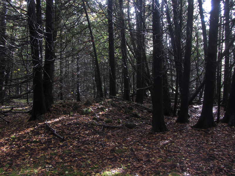 |
| Here was another apparent cairn |
As mentioned earlier, a very detailed historical account of Fort Drummond was written by Samuel Fletcher Cook in 1896. A Lieutenant Colonel Robert McDonall was the first commandant of Fort Drummond, having been in command previously at Mackinac while it was held under the British crown. He was a "good letter writer" according to Cook, as were his correspondents, "who neglected no opportunity to inform their superiors of the occurrences there, nor omitted from their reports the rumors wafted to them from the distant regions." This availed Cook of reconstructing the history of this forgotten outpost.
To McDonall's mind, the new fort should be situated as to be easily accessible to the Ojibwe, and capable of strategic importance superior to that of Mackinac. There was one issue however that caused McDonall "no little uneasiness"—the question of whether the new post might eventually be acceded to be on territory belonging to the United States. Cook reasoned,
With this feeling of doubt in [McDonall's] mind, the pros and cons of each locality were discussed in his letters, and while as a thorough Briton he could see no justice or reason in allowing any of the assumptions which he felt sure the United States would make, he evidently feared that his government would yield until the British were crowded from that part of of the country.
But McDonall, from his point of view, removed from any of the reverses of the war, failed to realize that the United States had conquered the terms of the treaty, and so he protested in strong terms that the noble nation whose humble servant he was, should not surrender their honor to the pusillanimous Americans, and thus, while rendering themselves despicable in the minds of the Indians, lose all hold upon the Great Northwest. In the light of history, his fears and predictions have almost the tone and force of realized prophecy.
Prophecy indeed; though the Americans were no great friends to the tribes, the British didn't exactly make themselves that lovable either. Anyway, McDonall referred at first to his choice of the new location by its original Ojibwe name, Pontaganipy, but then quickly gave it a new title in honor of the Lieutenant Governor and Commander of the Forces in Canada, Sir Gordon Drummond. He wrote,
The situation combines several important advantages, viz., an admirable harbor, proximity to the Indians, and will enable us also to command the passage of the Detour, giving our vessels the double advantage of a good anchorage in that strait, in addition to a fine harbor adjoining. The ground fixed upon for the new post and which was best calculated for the harbor is very rock and will be difficult to work.It is worth considering that if Fort Drummond had indeed become the mighty citadel that McDonall wanted, the U.S. government would have probably been forced to counter the move by building a matching fort on the other side of the straits, at DeTour Village.
 |
| An odd earthwork of some kind? |
It is written that the drawing of the U.S. / Canadian boundary line was swung off course by trickery to include Drummond Island for the American side after the war; that the British commissioner was provided with “copious amounts of libations” in order to dupe him into agreeing to such a border deviation. In other words, the American commissioners got him drunk and moved the chess pieces around. The legitimacy of America's legal possession of Drummond was firmly ironed out in 1822, but the Brits didn't feel like leaving quite yet. They went about their business and even assigned a new commander to the post as late as 1827.
The bureaucratic process of securing a new location took years however, and the American government grew impatient of the delays, demanding in 1828 that the British quit the illegal post immediately. They left Fort Drummond in a sudden hurry, not so much out of fear of American retaliation as to avoid the onset of winter and the possibility of being stuck on the island for another season. So they left much behind, including food stores, furniture, and personal effects, due mostly to a lack of space in the few vessels that were available on short notice. At that time there were seven officers, 40 men, 15 women, 26 children and three servants occupying the settlement, making for a total of 91 people who had to relocate to the still firmly Canadian St. Joseph Island.
The bureaucratic process of securing a new location took years however, and the American government grew impatient of the delays, demanding in 1828 that the British quit the illegal post immediately. They left Fort Drummond in a sudden hurry, not so much out of fear of American retaliation as to avoid the onset of winter and the possibility of being stuck on the island for another season. So they left much behind, including food stores, furniture, and personal effects, due mostly to a lack of space in the few vessels that were available on short notice. At that time there were seven officers, 40 men, 15 women, 26 children and three servants occupying the settlement, making for a total of 91 people who had to relocate to the still firmly Canadian St. Joseph Island.
Samuel Cook recounts a local legend contending that upon being evicted from the island, the British disposed of some cannons in Whitney Bay so as to prevent their being captured by the U.S. Army. Boaters have claimed to be able to see two brass field pieces on the bottom of the harbor, but subsequent dives have uncovered no such treasure. It turns out that the armament of Fort Drummond in 1820 was catalogued as including 34 pieces—far more than I ever suspected there to be—the largest of which were six 32-pounders. Cook writes that when the garrison was evacuated to St. Joseph Island in 1828, they only had enough room to take their muskets with them on the small ships that could be procured on short notice, and there was no record of transporting any cannon to the new garrison there.
This however does not mean that the cannons were all simply abandoned, or disposed of by casting them into the bay. After 1822 the command knew that their time on Drummond was coming to an end; since they were found to be illegally on Drummond they had to disarm or be in violation of treaty, and thus, began slowly reducing the inventory. Cook offers the theory that every time a supply ship came, instead of returning empty they would take a few of the extra cannons aboard and ship them back down to Amherstburg, where Fort Malden was under reconstruction. If this is true, the guns may have seen action in 1838 during the Patriot War, in the Battle of Sandwich. In my opinion it is possible however that a few could have ended up discarded, since it is likely that by that time some of them could have been so old as to be obsolete. Another similar legend tells of a hidden pot of gold somewhere in the former Village of Collyer:
It is related that a trader who lived in a house located near the north end of the little island opposite the government wharf, became insane. He had not, however, shown any dangerous tendencies, and was simply being watched to see that he came to no harm. One day when he chanced to be left alone, he slipped out of the house carrying his wealth of gold in an iron kettle, and disappeared in the bushes toward the south end of the island. He was not long absent, but when he returned he had not the pot of money with him, nor could he be induced thereafter to reveal the place of its concealment.It was true that this man existed, and is documented that he had in fact gone insane, but a hidden cauldron of gold has never been found.

A small American squadron landed to take official possession of Fort Drummond on November 14 of 1828, though they did not establish a garrison there, nor did the U.S. Army ever do so. I think they merely wanted to ensure that the British had actually left as ordered, though it is reported that some of the British civilians who could not afford to hire passage had no choice but to remain behind in their homes there for the winter, including James Farling, the post blacksmith.
I can only imagine that life here in the early 1800s would have been unimaginably rough, and that it is almost miraculous that anyone managed it at all. However, by some accounts the British subjects enjoyed a rather comfortable existence for those 13 years, once they got established. The Fortwiki guy says that because the move from Mackinac to Drummond happened late in the year, both the soldiers and the civilians of the post "were hard-pressed to build suitable quarters before the harsh winter set in," and notes that several inhabitants perished over that first winter.
According to Cook, McDonall's original plan for this fort was that cannon were to be placed "advantageously" on the west face of the ridge overlooking the DeTour Passage, and an artillery road was built for moving them back down to the bay if need be. It seems to me as though McDonall simply did not currently "have enough gun" to amply command this position. There was also the glaring issue of the eastern passage around the island—any ship wishing to avoid what little influence Fort Drummond's guns currently held over the straits could simply sail around the other side of the island.
If Drummond Island was ever going to effectively exert any real strategic dominance over the upper Great Lakes, the British would have to vastly enlarge their fortifications here, as well as build satellite positions to control the eastern and northern passages around the island. But Drummond did have one distinct non-military advantage—it was perfectly suited as "a rendezvous from which to retain influence over the Indians."
In order that the Indians might still be impressed with an overpowering sense of the greatness of the British, notwithstanding their reverses and enforced relinquishment of the island of Mackinaw, Col. McDonall conceived that an extensive system of fortifications for offense and defense was necessary. When leaving Mackinaw, he had told the Indians that at the place he was going there would be a larger fort and bigger guns than those he was leaving, and that those who remained true to their allegiance to the King should be able to look with disdain upon those who remained with the Americans.
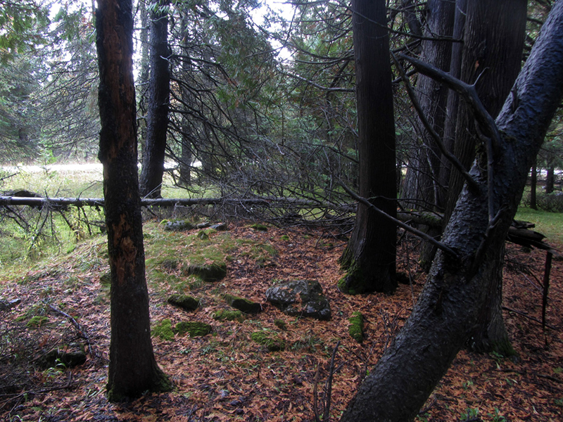 |
| Yet another large cairn |
McDonall did however order the erection of a temporary blockhouse for the protection of the village in defiance of the directive from his superiors not to fortify Drummond yet. According to Cook, some grading of the natural cliff was done, and to it was added a breastwork of stone, though I believe these features have since been swallowed by the modern dolomite quarry.
According to Samuel Cook, in the fall of 1815 Lt. Col. McDonall entreated with the Ojibwe chief Nebawgnaine, who laid claim over the island, to buy it from him in its entirety for the British crown (irrespective of the fact that it might be on the American side of the border and not within their right to do so, I suppose). The agreed-upon price for the sale was one keg of rum for each year that the British should remain there on the island.
 |
| And another of the strange pools |
The new men, two companies of the 37th Regiment that had previously served in India "were worn out with fever and ague engendered in the low country along the lower Detroit River" while they were in Amherstburg, which made them "easy victims of the exclusive salt diet to which they were confined." The British commissary department was alarmed by this tragedy, and arranged to send cattle from Amherstburg to remedy the dietary situation, since—inexplicably—the men at Drummond were unsuccessful at taking any of the plentiful game animals that were to be had here. They pastured the cattle on St. Joseph Island and herded them across the ice in winter to be slaughtered.
The 81st Regiment, and one of the companies of the 37th were called away that June, leaving Fort Drummond to be garrisoned by the bedraggled remnants of one company of the 37th. No construction work was accomplished that summer, except for stacking the timbers previously felled for the construction of the planned permanent blockhouse, in order to prevent their decay.
We finally gave up trying to find any chimney ruins in this area, and tried on the other side of the road. There were more of the small pools:
Lt. Col. McDonall saw his dreams for a grand Britannic fortress to surpass the mighty Mackinac dying on the vine, and put in a request to be relieved of his command. According to Samuel Cook, he returned to England a "broken-hearted man," afflicted by the dishonor he felt at having been deliberately held back from achieving glory by his superiors; apparently being kept isolated out here on the frontier kept him from ever seeing how the indefatigable Great Britain could ever be made submissive to a nation of Yankees. McDonall was replaced by Lt. Col. Maule on June 26th, 1816.
Under the regime of his successors, the clearing [McDonall] had made for the erection of a lofty fortress was turned to the uses of agriculture, a 10 acre field, enclosed by a rail fence...yielded potatoes for the sustenance of the King's soldiers.In 1817 Maule sent a fresh request for monies to fortify Drummond, and was met again with rejection on the grounds that title to the island was not yet secure. Nothing much worth reporting occurred until 1820 when a forest fire threatened the village. Through the hard work of the garrison disaster was averted, but the squared timber prepared for the blockhouse was lost. Command of Fort Drummond changed several more times over the years, and not much else occurred until it was proved Drummond Island was in fact American.
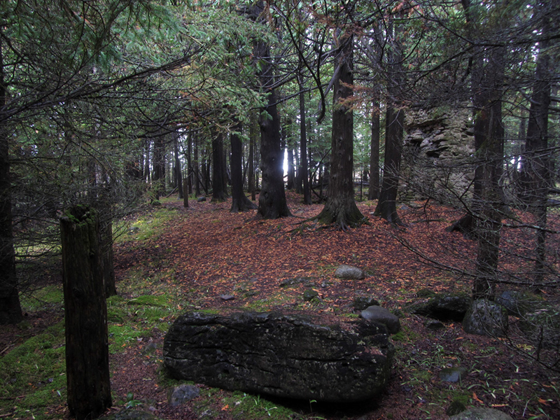
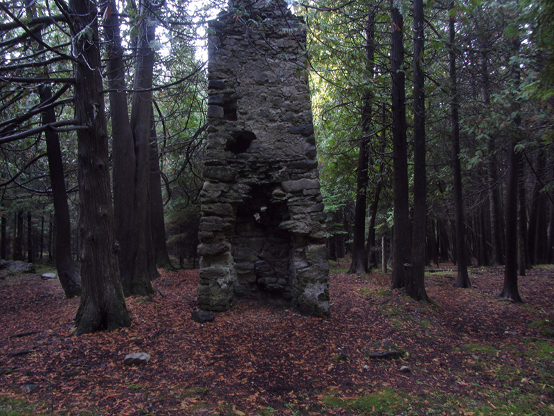
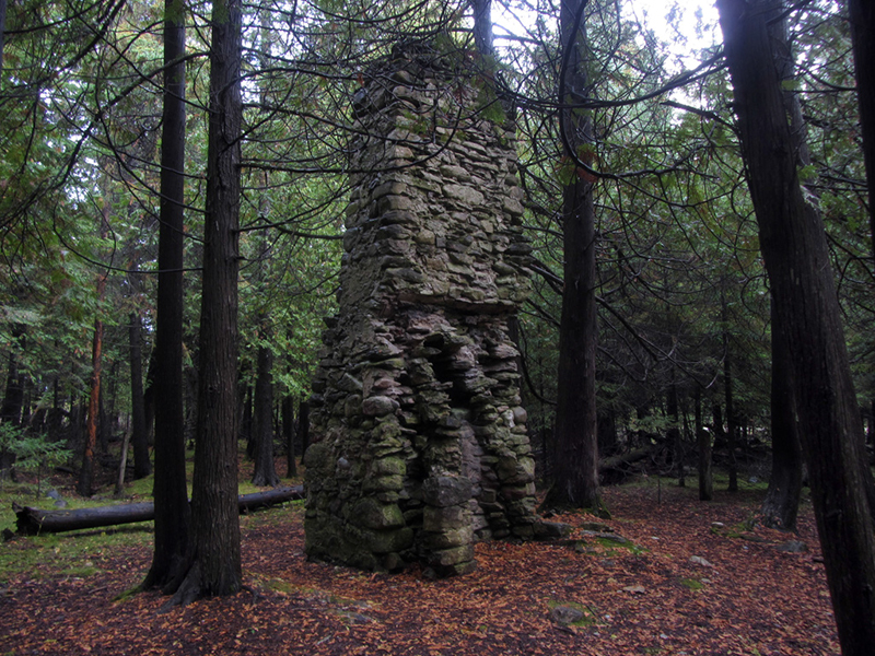
Finally, in a sanctuary-like clearing within the woods, ringed by a tight circle of elder cedar guardians, we came upon a towering stack of stone.
Someone had clearly trimmed the lower boughs of these trees so as to give more of the appearance of a sanctuary:
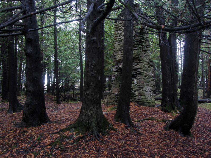
The trees all looked to have grown around the perimeter of the footprint of whatever mostly-wooden structure had once been there as it began decaying, at least 100 years ago.
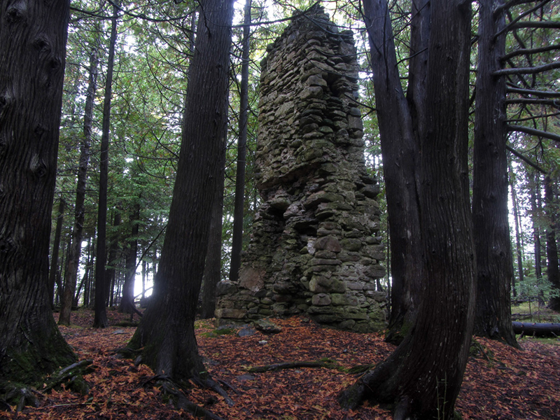
According to what I have read, this chimney belonged to the Officers' Quarters.
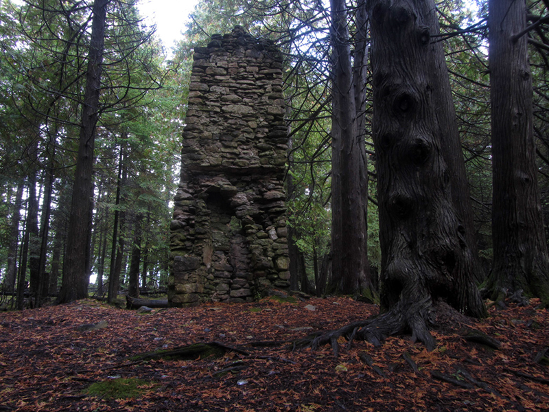
It also looks as though the chimney was in the center of the structure, because it has fireplaces on both the front and back sides. The one on this side is smaller, and probably heated a bedroom:
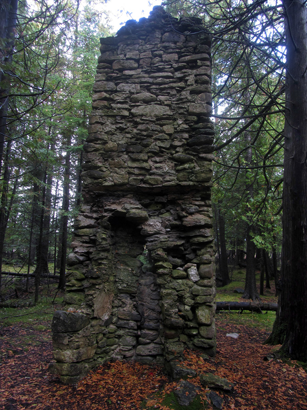
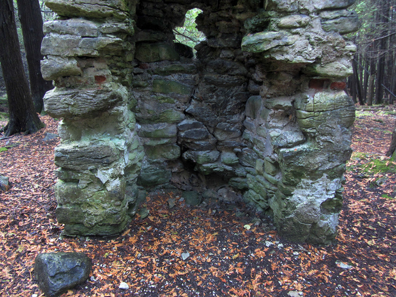
While the one on this side was larger and probably served a kitchen:
I pondered how much weird 19th-century limey cuisine was prepared over this hearth, like puddings, bangers, tatties, or Beef Wellington? Maybe even the first Cornish pasties ever baked in the Yoopee?
Samuel Cook asserts however that all the kitchens were kept separate from the living quarters:
The kitchens of the larger houses, of which the location can be made out with reasonable certainty, were separate from the houses, and in some instances at quite a distance away. There are now no traces of an oven in connection with these houses, nor indeed any cranes in the fireplaces, and it would seem that the private as well as the public baking was done in the large bake house, situated on a little neck of land projecting into the bay...
A look up the flue:

Cook also goes on to explain that the digging of cellars at this locale was "too onerous," on account of the water table being so close to the surface, and therefore "resort was had to surface cellars, some of which are yet so well preserved as to give evidence of their purpose."
That explains all the little holes in the ground I suppose. He said that the structures used by the garrison were "unusually large for log houses," and were also "more scattered than was usual in those days for military posts." The parade ground was strung out along the shore, passing the barracks and commissary buildings, while the village of Collyer was laid out in a "three street by two street grid and connected to the military post," according to the Fortwiki guy.
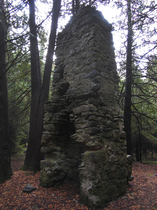
This chimney was very unique and clearly hand-built...I would love to restore this and put a new structure around it:
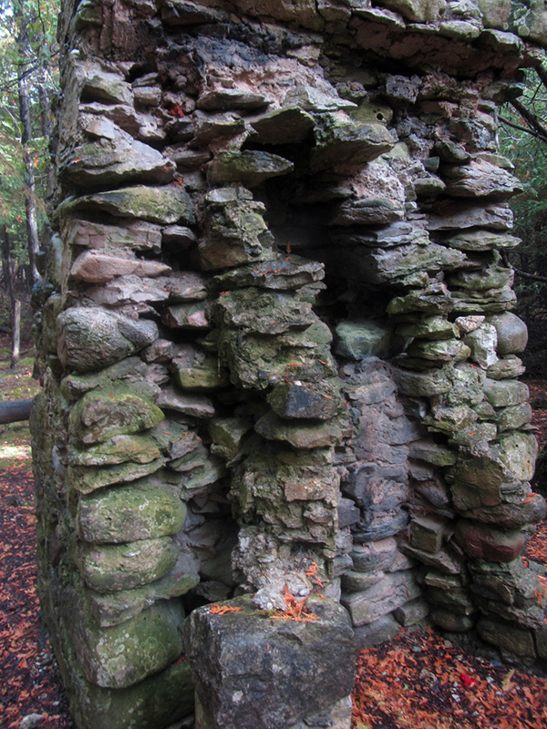
After marveling for a good long time at this, one of Michigan's oldest ruins, we decided to fan-out again in search of any other nearby evidence of Fort Drummond's existence.

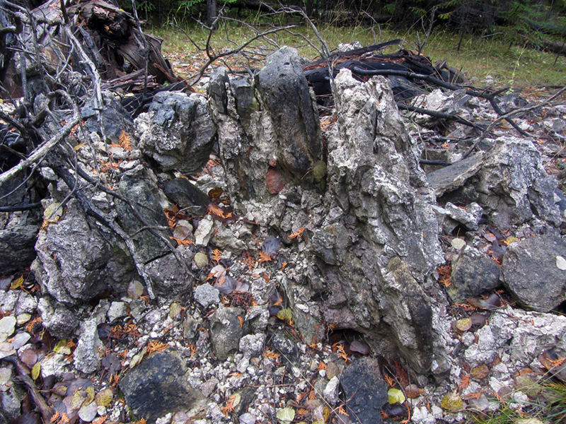
Not far away I found a pile of rubble, much of which had obviously been mortared together at some point.
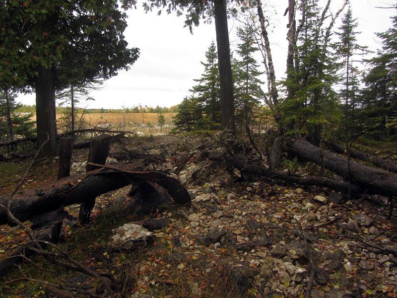
This pile was situated at the edge of the quarry in an area that on the old map had been marked as having a blockhouse erected on it. So either this was part of a blockhouse, or it was another fallen chimney.
Though Samuel Cook writes that the ruins of a lime kiln were to be found a "short distance south of the town," so perhaps it could have been that as well. "The quality of the lime which was burned there must have been excellent," Cook notes, "since it has withstood the action of weather for two-thirds of a century, with but slight evidence of decay."
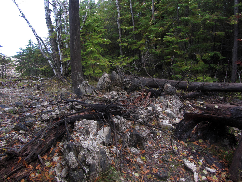
Indeed it was the same old mortar here that we found on the first chimney:
We went back for one more look at that beast:
There is also a ghost story associated with Fort Drummond, which Samuel Cook retells. Supposedly the tip of Great Manitoulin Island is guarded by a pair of ghosts dressed in the regimental garb of the British redcoats, who haunt the shore at night in the glare of a large fire—despite the conspicuous absence of any heads to be found upon their shoulders. The story goes that during that first harsh winter of hardship on the Michigan frontier, two British soldiers decided they had had enough and were going to desert. Lake Huron had frozen over, affording them an ice bridge to cross between the islands to the Canadian mainland, but once the commandant of Fort Drummond learned of their desertion, he put a price of $20 on their heads, dead or alive.
This of course attracted the interest of the local Ojibwe, two of whom decided to stalk the deserters for the bounty. With their snowshoes they quickly caught up to the escaped soldiers, finding them on the shore of Manitoulin Island making a fire for the night. The Indians waited for the two sleeping men to nod off, before slipping out of the cover of the woods to decapitate them. They tied the severed heads to their belts and trudged back to Fort Drummond to collect their reward, in both cash and rum. It was told by fishermen that to this day the specters of two headless redcoats sitting by a great fire can still sometimes be seen. No record of a desertion was ever mentioned in the letters of the fort's commanders, but like the story of the sunken cannons and hidden gold, the Great Lakes legends have a way of becoming bigger than their factual origins.
On our way back to the car we came across another of those small pits filled with water, but this one was fenced off:
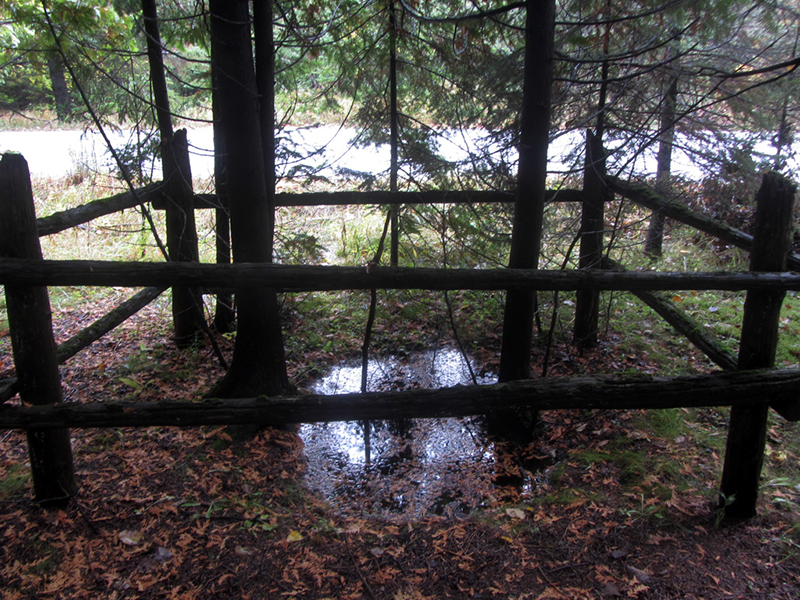
Nearby what looked to have once been a wooden sign frame sat rotting into the earth; perhaps this had once been an interpretive site describing the ruins we were looking at, but today it lay hidden and well off of the beaten tourist path.
At one time the National Park Service showed interest in buying up and protecting the Fort Drummond site, but the idea seems to have gone by the wayside. A historical museum exists on Drummond Island, and it contains many artifacts found at this site, but unfortunately I would not have time to stop in there today.

References:
Michigan County Atlas, Second Edition, David M. Brown, 1984
Michigan Atlas & Gazetteer
"Michilimackinac and Prairie du Chien: Northern Anchors of British Authority in the War of 1812," by Barry Gough, The Michigan Historical Review, Vol. 38, No. 1
"An Old Fort was Our Playground," by Jill Lowe Brumwell, Michigan History Magazine, September/October 2012
http://www.nps.gov/history/history/online_books/rec_area_survey/great-lakes/mi2.htm
http://fortwiki.com/Fort_Drummond_(2)
Drummond Island: The Story of the British Occupation, 1815-1828, by Samuel Fletcher Cook
Michigan County Atlas, Second Edition, David M. Brown, 1984
Michigan Atlas & Gazetteer
"Michilimackinac and Prairie du Chien: Northern Anchors of British Authority in the War of 1812," by Barry Gough, The Michigan Historical Review, Vol. 38, No. 1
"An Old Fort was Our Playground," by Jill Lowe Brumwell, Michigan History Magazine, September/October 2012
http://www.nps.gov/history/history/online_books/rec_area_survey/great-lakes/mi2.htm
http://fortwiki.com/Fort_Drummond_(2)
Drummond Island: The Story of the British Occupation, 1815-1828, by Samuel Fletcher Cook


