September, 2010.
So Hank informed me one Saturday that she had Sunday through Wednesday off, and that it would be great if we could do another Yoopee road trip. We hit the road in the Millenium Thundercougarfalconbird on Sunday with almost no planning whatsoever other than we knew we wanted to get to Copper Country.
I managed to find time to do some maintenance on the machine before departure, however, the issue with my car’s cooling system that I thought had been a fluke (like a stuck thermostat) had cropped back up in the past 36 hours; it seemed my car wanted to eject its coolant every time I shut it off, even though it had showed no other signs of distress like overheating, and I figured I would just keep refilling it for now and take it to a shop for a look once we got back. Probably just needed a radiator flush and a new thermostat, so I kept putting straight water in it. This worked fine, and on our way up north the car actually started working fine again as if being flushed out was all it needed. It ran at normal temp at all times and fought like a champ, even with almost 180k miles on it. This info will be pertinent later, by the way.
We made it to Ishpeming at about 1am and stopped to sleep. We woke up and drove to Houghton, for breakfast at da
Soumi Bakery, eh. Also grabbed a couple pasties for da road don’tcha know. After that we checked out the
Quincy Smelting Works on the other side of the Portage Canal, and walked around it even though it is well-fenced now, and under restoration since I was there in 2005:
It is the last standing copper smelter in the Great Lakes, and the only smelter of its age left in the nation. Thanks to the efforts of the
Quincy Smelter Association and Franklin Township, it is restored and about to be reused as a headquarters for the
Keweenaw National Historical Park.
From there we decided to take a little drive up M-26 to the ruins of the
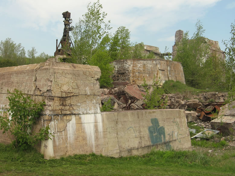
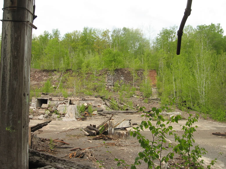
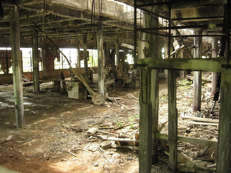
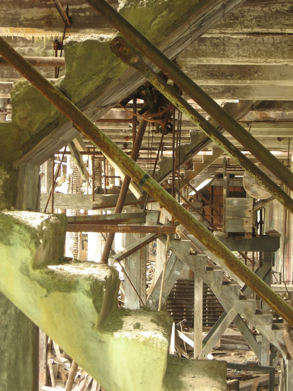
Quincy Stamp Mill #1, on the shore of Torch Lake.
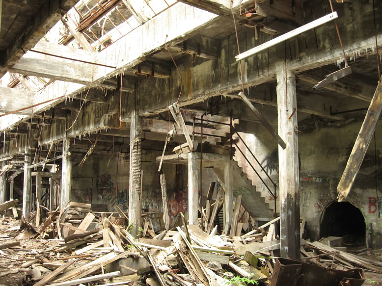
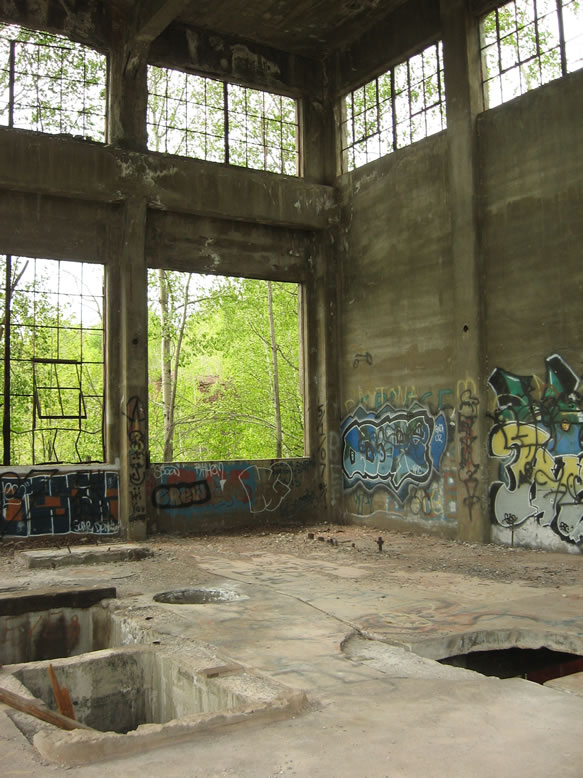
Of course this was another place I had explored before, but this time I noticed something different inside the
power plant…Finnish graffiti?!
It reads, “
Soumalaisita bandestä Paras!” If I had to guess, I would say that it means, "Finnish brotherhood," or "Finnish mafia," or something to that effect. And you’ll note that it is painted over the design of the Finnish flag. In fact, the whole room was covered in these, with different sayings on each:
Turns out, the literal meaning was "Finnish bands are the best!" Wow...well, at least there were no hashtags present to make this officially the dorkiest graffiti ever.
In case you didn’t know, the Yoopee (and especially the Houghton-Hancock area) has the highest amount of Finnish-Americans anywhere in the world, except Finland. Looks like some of their kids are bored up here in the woods. I noticed the word “
Sisu!” appeared several times.
I figured it must be some kind of patriotic phrase from Finnish culture. We had no idea that in a few short days we would be learning a very hard-bought lesson in “
Sisu” before this trip was over…but I’ll explain that later.
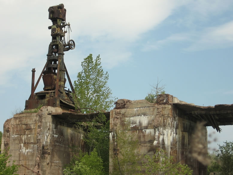
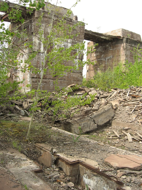
Up back toward the woods a little farther, I found some more ruins that I had not given much consideration on my first visit:
Just a couple minutes up the road we found the
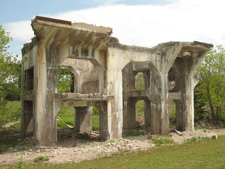
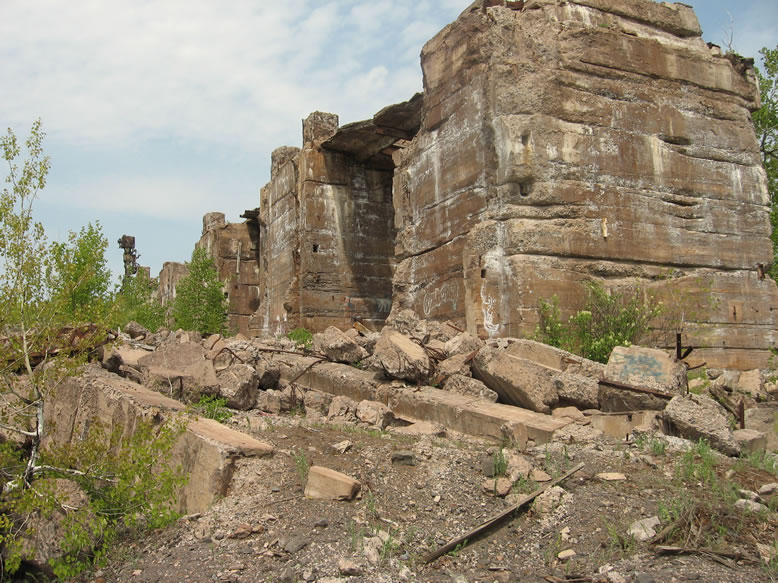
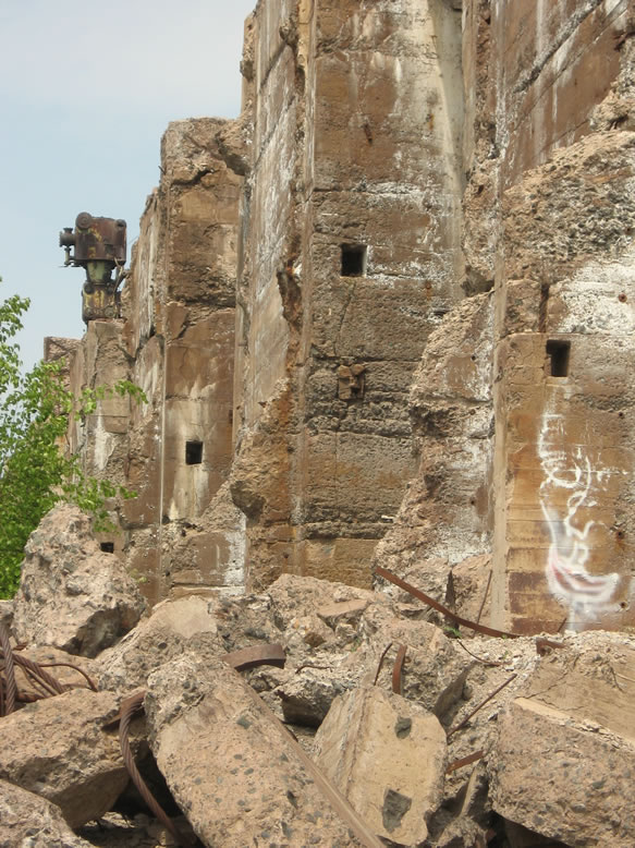
Ahmeek Stamp Mill’s gargantuan ruins, in the town of Tamarack City.
This was at least my second visit to this mill ruin. After a brief and leisurely stroll around these monoliths, we hit the road again, but not before noting the interesting juxtapositioning of a playground with monkey-bars that had been erected in the city park that the Ahmeek’s ruins sat in since I was here last…one jungle gym for the kids, and one for the grown-ups, heheh.
We drove up through quaint Lake Linden and over to Gay. By then it was getting to be time to have a beer, so we stopped into the famous
Gay Bar, and bullshitted with the locals for a bit before continuing the very scenic drive along the Lake Superior shore up to the tip of the Keweenaw Peninsula. I hadn't actually gone into the bar on my first visit to Gay.
I had never taken the Gay-Lac LaBelle Road before, so it was a treat for me. Hank wanted to see Copper Harbor, the tiny village positioned at the northernmost tip of the Keweenaw.
Along the way we stopped (as we so often did!) to replenish the water jugs that we were using to keep my radiator full. I spotted
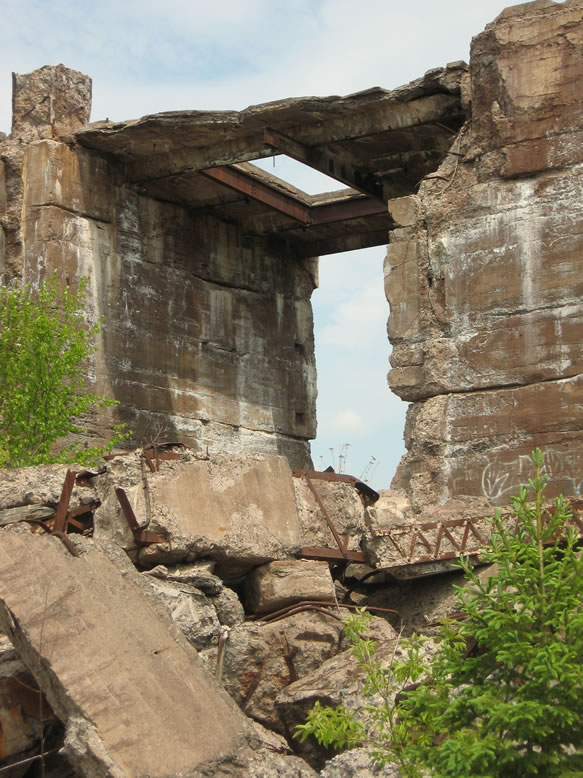
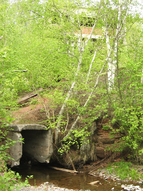
a place to pull over with a waterfall and when we did so I saw a sign that pointed out the ruins of the Lac LaBelle Stamp Mill, something I had not heard of or seen pictures of before. It was a small, well-concealed group of ruins, very much covered over and fading from existence, the largest portion of which was the stone smokestack base, seemingly built into the cliffside:
According to
Mindat.org, this mill belonged to the Mendota Mine, which it described as "a copper mine consisting of five shafts near the ghost town of Mandan."
The Mendota Mining Company was organized in 1865; however, mining was taking place as early as 1855 under Meteor Mining Company management. Three of the shafts were sunk under Meteor management, with the other two shafts being more exploration shafts sunk under Mendota control. With the price of copper during the American Civil War rising, investors formed the Company and quickly built a smelter and stamp mill on nearby Lac La Belle. The ore that came from these shafts was different than most places; a black/gray sulphate which the company mined until 1873 when it was realized it could not turn a profit and the mine closed for good. If the piles can be found, the “black/gray sulphate” mineral the mine discovered can still be collected; today, we call it chalcocite.
Lawrence Molloy's
Guide to Michigan's Historic Keweenaw Copper District, on the other hand, says that the Conglomerate / Delaware Mine built this mill in 1881. He further notes however that both the Mendota Mine and Lac LaBelle Mine became part of the Delaware Conglomerate by 1888.
To further complicate matters, Mike Forgrave of
CopperCountryExplorer.com says that over the years the Delaware Mine had been under the corporate umbrella of even more companies, including the Pennsylvania, Conglomerate, Northwest, and Lac La Belle, and, "With each new ownership change came a renewed investment in the mine’s surface plant, including the construction of no less than five separate stamp mills," three of which were built along the shore of Lac LaBelle." I have no doubt that the Delaware has truly
the most confusing history of any mine in Michigan, so I won't attempt to sort it out any further here, rather, I'll leave it to the brave professionals. It truly was the "mine of a thousand faces," as Mike puts it. But I think it is safe to say that what Molloy wrote is basically correct.
We continued on our journey around Bete Grise Bay, and up to the “end of the world,” Copper Harbor. Once we reached it, I drove straight up Mt. Brockway, the 1,328-foot mountain that overlooks the village. Though it is several hundred feet shorter than Michigan’s highest point, this is possibly the best view you’re going to get in the state:
Looking out on Lake Superior’s endless reaches.
We hung out here for quite some time, just soaking it in. I had not been here for years. The weather was absofuckinglutely immaculate. Cool, dry, and breezy. The temp gauge in my car hovered around 67F for much of our trip—20 degrees cooler than the armpit weather we left behind in Detroit.
Once we had spent a couple hours just staring off into space and napping on the mountaintop, it was time to think about dinner, more beer, and where we were going to sleep for the night. We puzzled quite some time over where to camp, since what we really wanted to do was sleep right here on the mountaintop, haha. However it was unlikely that we could pull this off due to the amount of other sightseers around, and the fact that there’d be no way to hide a tent if the sheriff made rounds after dark. This definitely didn’t seem like the kind of place you’re supposed to camp.
Well, perhaps there was another part of the mountain, just down from the summit we could hide a tent? We searched around and with no small measure of difficulty found a couple potential spots, but at the last minute I spotted a realty sign indicating a certain parcel was for sale—we were in luck. I drove the Thundercougarfalconbird down the steep access trail for about 50 feet, and realized that we could not possibly ask for anything better—we were on the mountainside with a view, dry wood for fire, and to boot we could hide both the tent
and the car from sight.
Practically overjoyed, we drove back up to the main access road and down into town again for beer (and more water for the radiator). I couldn’t believe we were about to camp on top of Mt. Brockway.
Upon returning to the mountaintop with a full cooler of KBCs, expecting to see an epic sunset, we noticed that the coastal mists that had shrouded the Lake Superior shoreline were now growing with the late hour’s decreased temperature, and the mighty lake’s cold breath turned them into massive fogs that rolled inland very swiftly…
In fact, the entire valley became shrouded within just a few minutes. It was moving so fast that when it hit the mountainside and started rising to cross over the top, it looked like one of those fast-motion time lapses.
At times Brockway’s summit would disappear in the heavy mists and reappear later, and out across the valley we could see nothing but grey haze below between the mountain ridgelines. What a bizzarre effect:
It seemed like we were a lot higher up than we really were…in the Andes Mountains of Peru, or even in an airplane. There was no sound…even out across this entire, absolutely
monstrous gulf of open space, it was just completely quiet.
The fogs actually disappeared without warning for a little while, but they came right back just as suddenly. Eventually we retired to our secluded “tres-camping” spot and built a small fire before passing out.
CLICK for part two.
References:
http://www.mindat.org/loc-16083.html
http://www.mfhn.com/keweenaw/history/historyofup1883-2.html
Guide to Michigan's Historic Keweenaw Copper District, by Lawrence Molloy, pg. 65-66
http://www.coppercountryexplorer.com/explorations/mills/delaware-mill/