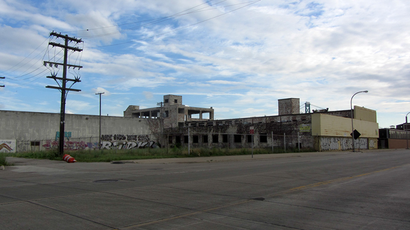
I managed to sneak in there several months ago, to find its interior essentially un-vandalized. Ironically the owner, hated trillionaire monopolist Matty Maroun, announced plans to heroically demolish this blighted structure several weeks after my visit.
 |
| Image from Google Streetview |
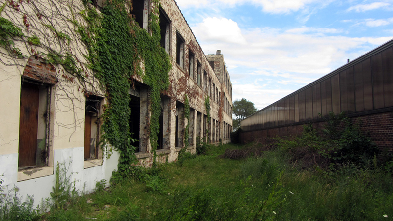
Unfortunately, both of these historic structures were still very sound, and could have easily been cleaned up and put back to productive use, had they been owned by anyone but a professional land speculator. I first noticed something was up with this building when all of the windows suddenly disappeared one day over the winter. I figured renovation work was underway, but then nothing else seemed to happen. Little did I know, it was merely Maroun slyly demolishing another building by neglect the way he had done with the House of the Good Shepherd building.
According to the Free Press, Maroun's Ambassador Bridge Co. bought this cluster of buildings in November 2013, and had "no immediate plans for that land once it’s cleared." If you recall from an earlier post of mine, this plant stood adjacent to the Schwarz Foundry Co. on the other side of Vermont Street from it, which was also demolished in recent years. Another group of recently demolished Maroun-owned structures on this stretch of Fort Street was the Cloyd Container Corp.
I had a hunch that this plant had something to do with the paper industry once centered in this sector of the west waterfront, but I needed to find a name, or at least an exact listed address for the building in order to begin researching.
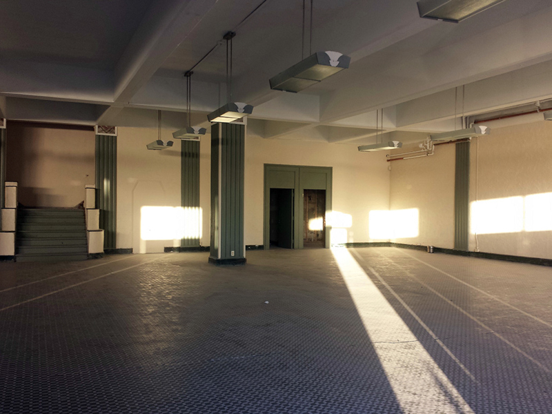
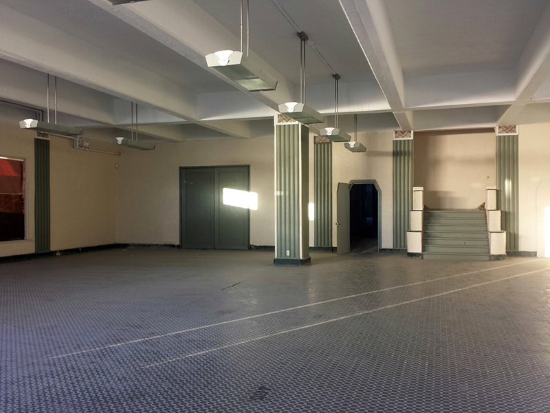
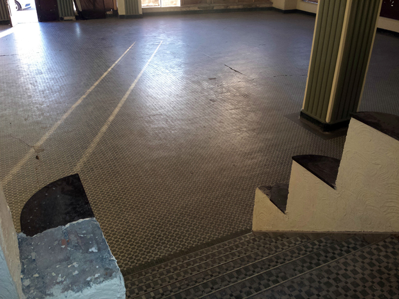
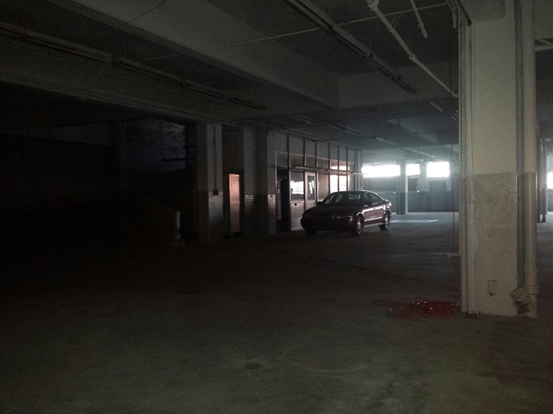
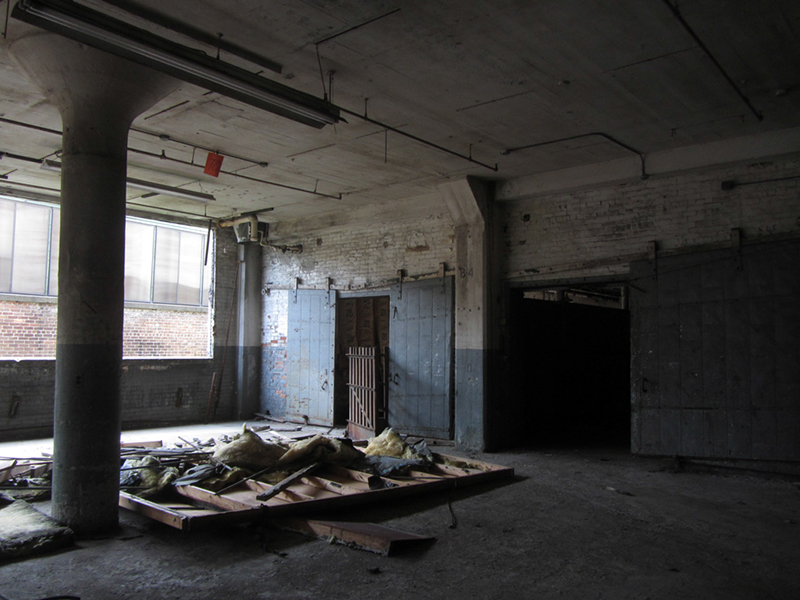
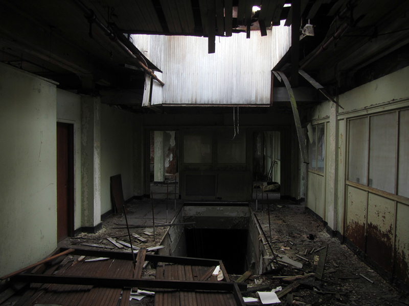
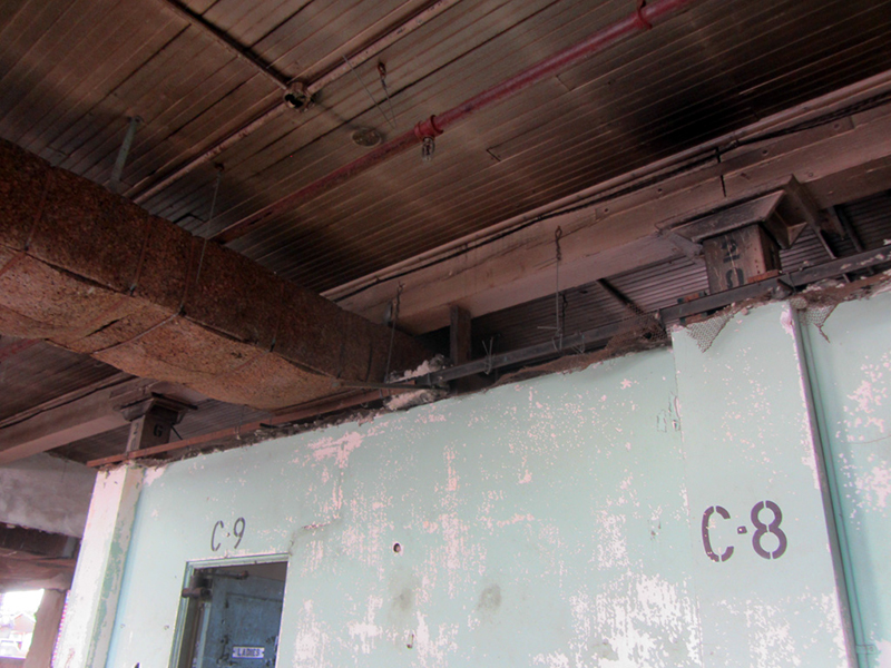
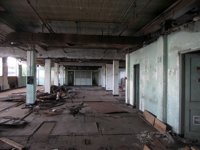
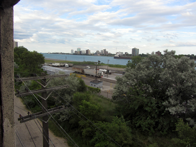
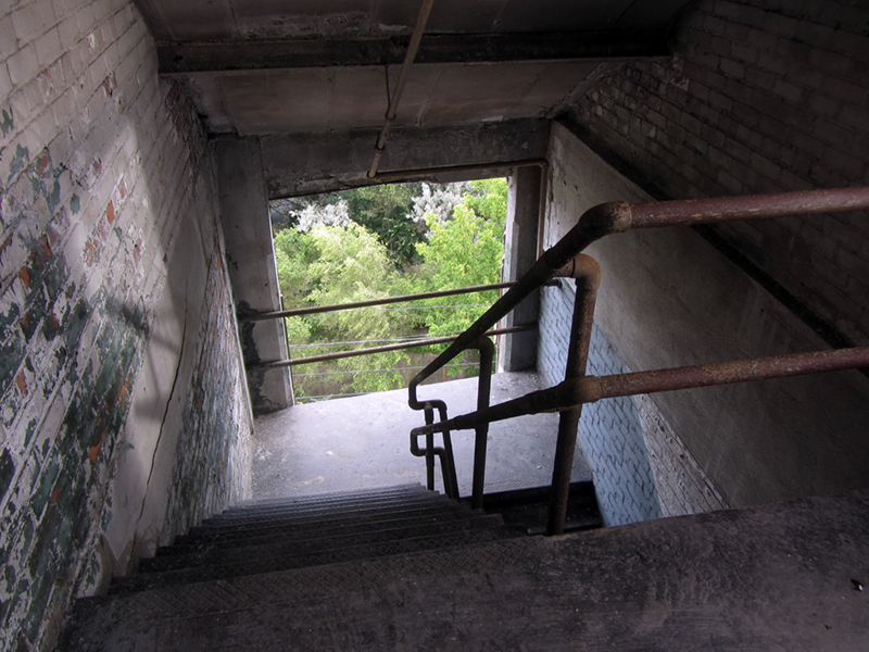
I headed toward the front of the building, where it seemed the plant offices were located.
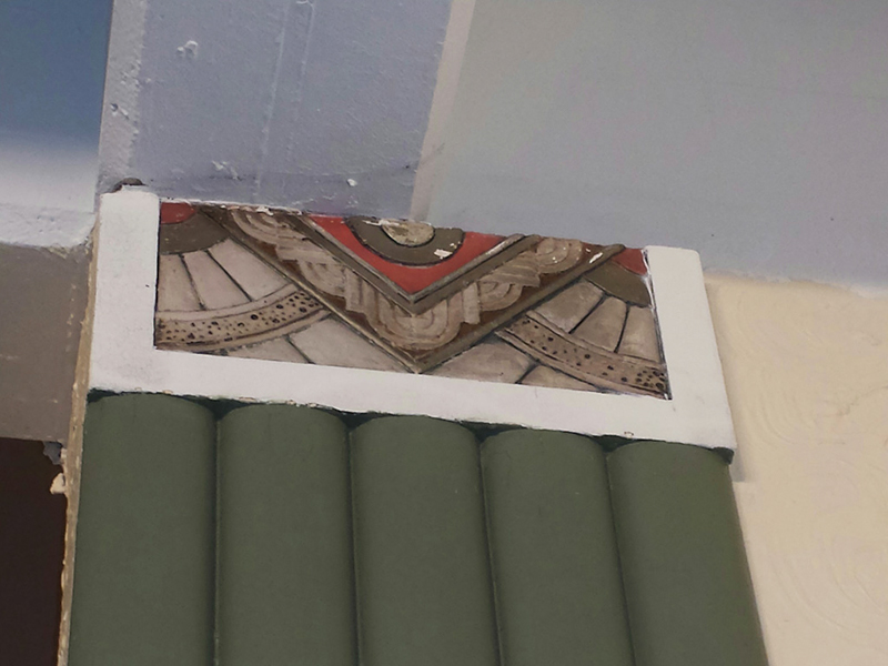
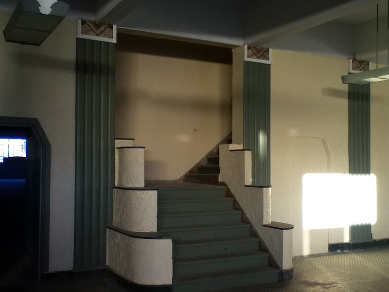
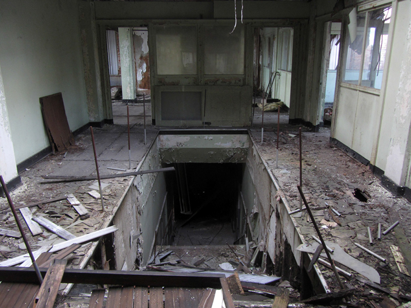
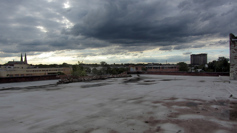
Over the main stairs, a massive hole had opened in the roof, which I supposed had once been a skylight:
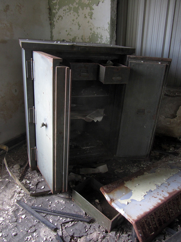
According to some paperwork I found in the breached records safe in one of the offices, the address of this plant is 2065 W. Fort, and it housed the Detroit Tullar Envelope Co., though the addresses 2744 W. Fort and 2766 W. Fort also appeared a lot, indicating that other buildings were in use by this firm elsewhere.
In any case, both of those addresses are now occupied by the Ambassador Bridge toll plaza. Another address I found listed (in 1949) for Tullar Envelope is 1040 14th St., which is about a block away from this plant, at W. Lafayette, a vacant lot across from what is now the Green Dot Stables.
A musty 1946-vintage document I pilfered from the safe was a license agreement between Tullar Envelope and the F.L. Smithe Machine Co. of Manhattan for the use of one of the latter's Champion Wide Range Rotary Window Envelope Machines.
Looks like one of the more recent employees was an ex-Yooper:
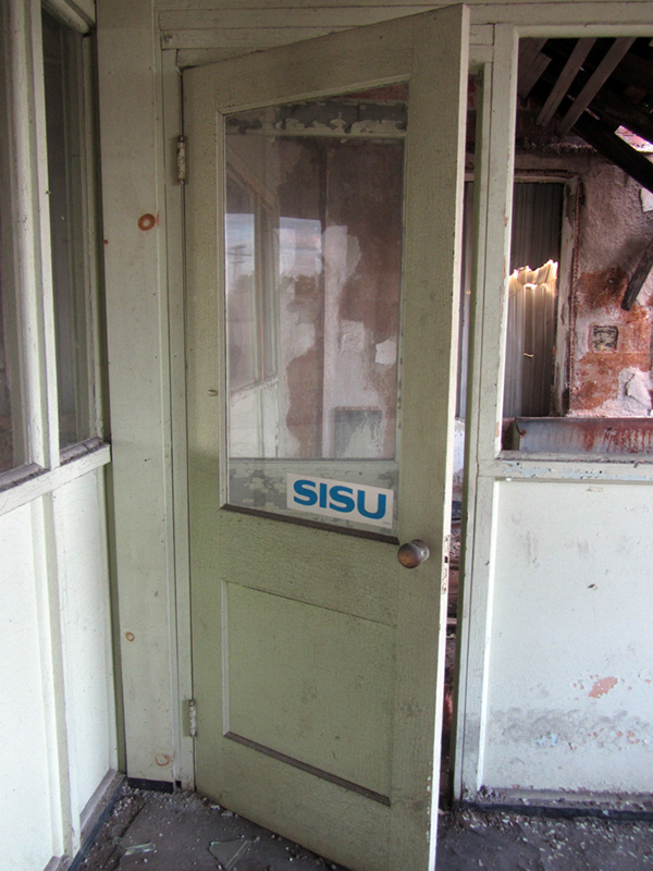 |
| Soumalainen Sisu!! |

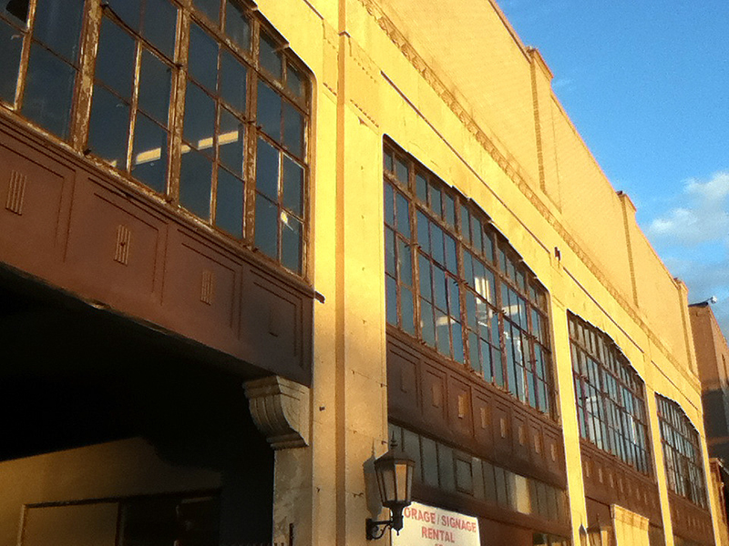
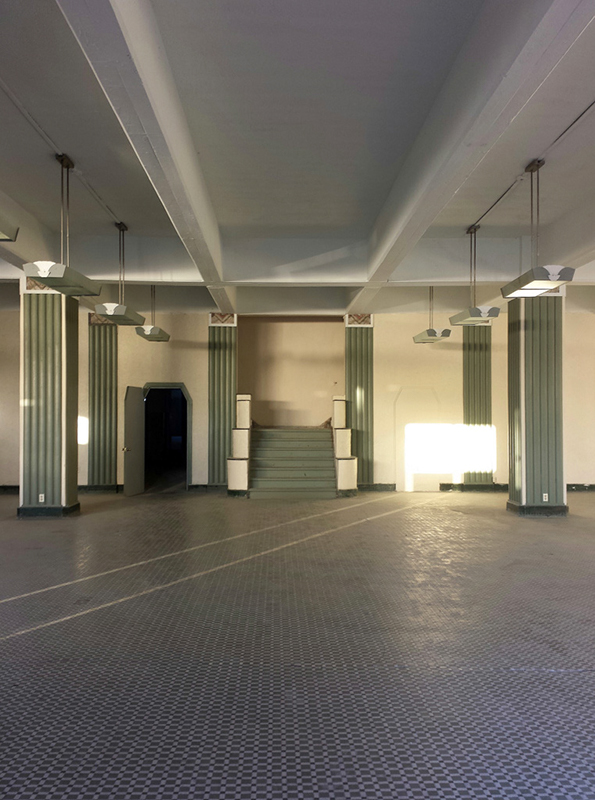
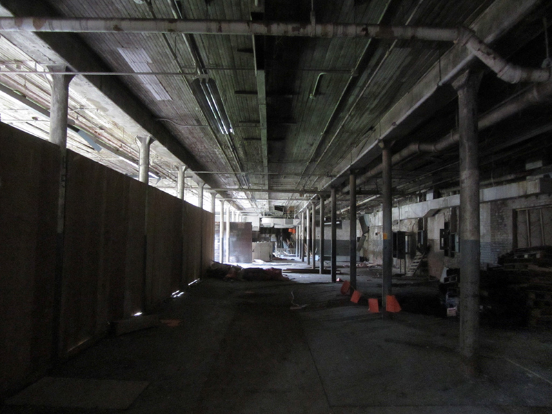
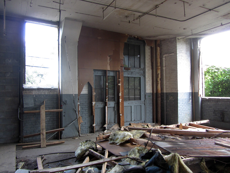
You can see in the next photo that this front building was a much older style of timber construction, separate from the taller building to the rear that was added-on with reinforced concrete construction:
The original factory space was converted at some point into offices for the newer plant that was added onto the rear. The c.1884 Sanborn map for this block appears to show this mill-construction style building at 2051-2065 W. Fort (originally numbered 621-623) as belonging to the Union Brewing Co. Peter Blum's book Brewed in Detroit notes that the Union Brewing Co. moved into this building, 621 W. Fort Street, in the year 1883. Per an ad in R.L. Polk & Co.'s Detroit City Directory Union Brewing were the "successors to East India Brewing Co. and Detroit Bottling Co.," and were "Brewers and Bottlers of India Pale Ale, Porter, Half-and-Half, and Hoptonic," who also were licensed agents to produce for Voigt's and Mann's Lager. East India Brewing was listed in Polk's 1882 directory at 630 W. Woodbridge, as "Ale and Porter Brewers and Maltsters."
By 1897 the Sanborn maps show this structure belonging to the Hees, McFarlane & Co. Window Shade Factory, and Polk's directory says that Union Brewing had moved to 24-36 Mitchell Street, probably near current Stroh River Place. Hees, McFarlane & Co. is listed in the 1913 Polk's at 957 Hubbard Avenue, which is about a mile further west on Fort Street.
Sanborns from 1921 have the 2051-2065 building as occupied by Kelvinator Corporation (founded in Detroit in 1914), This implies that the building was either vacant or tenanted by another unknown party for about six years from the time Hees, McFarlane & Co. moved out. According to the maps, Kelvinator first occupied this building as a place for machining, assembling compressor units, and japanning processes, then later as the Nash-Kelvinator parts & service department. Could this building have been the original home of the Kelvinator, essentially the world's first practical electric home refrigerator?
Kelvinator Corp.'s original name, Electro-Automatic Refrigerating Co., never showed up in Polk's directories. Under the Kelvinator name it first shows up in 1916 at 1507 Kresge Building, and then in 1918 at 104 W. Congress, but those addresses are almost undoubtedly offices or labs, not manufacturing locations. The book The Technology Century, by Mike Davis mentions a (now demolished) machine shop on E. Jefferson Avenue at Chene as the place the first Kelvinator units were made in 1917, but I don't think Kelvinator owned it. The 1919-1920 edition of Polk's lists Kelvinator as having moved in at 621 W. Fort, so this building probably was indeed their first real factory before moving into their landmark headquarters on Plymouth Road in 1926.
Everybody acknowledges that Detroit's contribution of the practical automobile was the single most significant invention of the 20th century, but I would argue that the invention of the practical household refrigerator was of equal importance to shaping modern man's way of life. Therefore I think that one could have probably started a fairly strong case for getting a historic landmark designation for this building—if anyone had known or cared, that is.
When the switch from Kelvinator to Tullar occurred I do not exactly know either, but Tullar were at least the fourth tenants, and since the Nash-Kelvinator merger occurred in 1937, Tullar probably didn't move in here until about 1940. I still don't positively know when the building was originally constructed either, since I can't get any Sanborns older than 1884, but it was definitely standing in 1883. Anyway, back to Tullar.
The generally dependable Clarence M. Burton profiles the biography of one B.S. Barnard, listing him as the secretary and treasurer of the Tullar Envelope Co. in the 1920s. Burton writes that Barnard was born near Toronto and came to Detroit in 1913, joining "C.W." and "H.K." Tullar in the employ of their company, but says nothing of the company itself.
Digging a little deeper, I found that The Book of Detroiters, compiled in 1914 by Albert Marquis, profiles Chester Wagner Tullar, but does not explain who "H.K." was. Chester Tullar was born in Neenah, Wisconsin and worked with the Mineral Lake Lumber Co. until 1896 when he came to Detroit. Mr. Tullar was employed with the Western Newspaper Union until 1901, at which time he got into the envelope manufacturing business.
By the way, one should not confuse this Mr. Tullar with Mr. Tuller, a downtown Detroit hotel chain owner who lived during the same time period.

Somewhere, a publication exists about the company entitled "Fifty Years of Envelope Making," which was printed in 1951, so if my math is correct, I have to assume that means that Tullar Envelope was indeed founded in 1901.
Marquis writes that Chester Tullar was a Methodist, a Rotarian, a member of the Detroit Board of Commerce, and the Detroit Credit Men's Association. His office was listed at 67 Larned, and his residence was at 201 Hazelwood (note: these addresses predate the city-wide renumbering in 1920).

I've come across commonly placed Tullar adverts in 1920s-era trade periodicals for "SMALL ENVELOPES," giving the dimensions (usually only a couple inches in size), for "enclosing small articles produced by automatic machinery at very reasonable prices." Another of Tullar's commonly seen ads promoted their "WINDOW ENVELOPES," in slightly larger sizes, on stock that could be had in "whites, manilas, and tints," made at the "Most complete plant in the Middle West."

A Michigan Department of Labor report from 1920 shows that in that year the plant had a total workforce of 37 people, 24 of whom were female, and all of which were above the age of 16.

An article in a circa-1918 trade publication I found via Google Books, the American Stationer and Office Manager, tells of the business of the Tullar Envelope Co., and their place in the market. The company's offices are this time listed at 39 W. Congress, while a different publication from the same year lists them at 45 W. Congress (again, by the old numbering system).

The article explains that Tullar mostly made envelopes for business, and that in fact Detroit was "one of the big national users of stationary," making the choice to locate a plant here that could produce all kinds of custom envelopes a very "timely" decision. Their machinery could be set up to make the largest or smallest envelopes, as well as any shape desired. Again, much of the plant's work was in specialty orders for demanding commercial customers, and did not "cater to fancy trade." There was also a department of the plant given over entirely to the production of special envelopes for circulars and advertising matter.
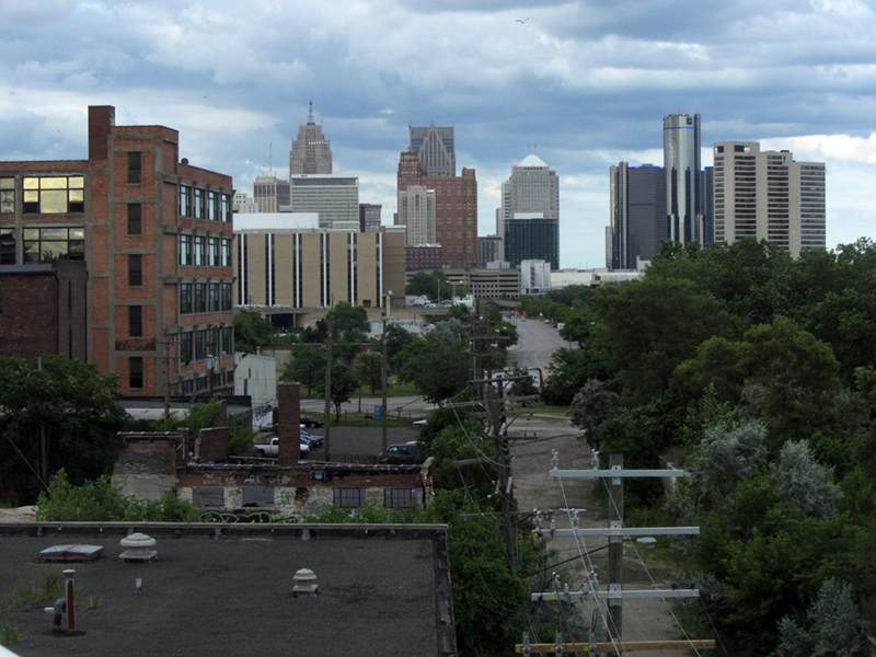
The large building in this next photo with the big tinted windows actually used to belong to the Chope-Sievens Paper Co., now converted to lofts:

Chester Tullar applied for a patent on an innovation of his in March of 1932, a removable opaque insert for window envelopes. In the language of his application, he explained that window envelopes, while designed to allow the name and location of the addressee to be seen without having to reprint it on the outside of an envelope, "are open to the objection that unless the paper surrounding the window is opaque, letters inclosed in the envelope may be easily read upon holding the same over an electric or other strong light."

It was the purpose of his invention "to overcome these and other objectional features of the window envelope while still retaining the advantages secured through its use." Tullar's patent was granted in June of 1934, and has since been referenced in four other succeeding patents, the most recent of which was filed in 1997.

A February, 1946 article in a Rochester, New York newspaper tells of the Detroit Tullar Envelope plant's acquisition by the Rochester Envelope Co. The article also implied that Tullar Envelope was actually a subsidiary of Rochester Envelope at that time. This plant contained 40,000 square feet of space according to the article, which would help the Rochester company "make room" for its "rapidly expanding business in that area."

A Michigan State University archive holds the records of the International Brotherhood of Teamsters union, and by browsing in the collection's catalogue it appears as though the Tullar Envelope plant's employees were organized under Teamsters Local #299—at least for the years 1956 to 1959, which are the dates of the records held in that collection.
You may recognize that local as the one that famous Detroit labor agitator Jimmy Hoffa was chosen to lead in 1946. Local #299 still resides nearby today at 2741 Trumbull.

The Tullar Envelope Co. was still listed in the Directory of Michigan Manufacturers as of 1980, and a Michigan business directory website shows the company as having been dissolved on February 18, 1986. I assume that was when this plant was abandoned for good, though parts of it may still have served in some small capacity in the interim.

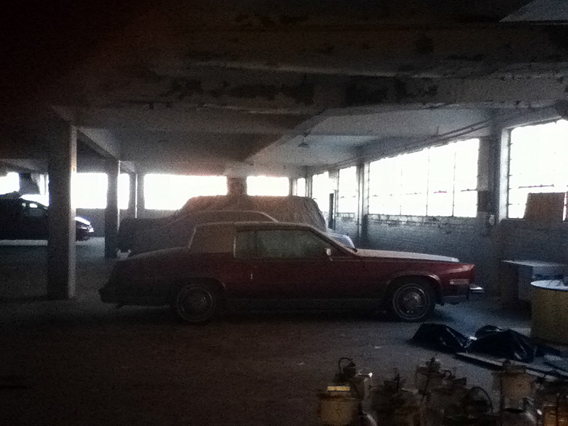
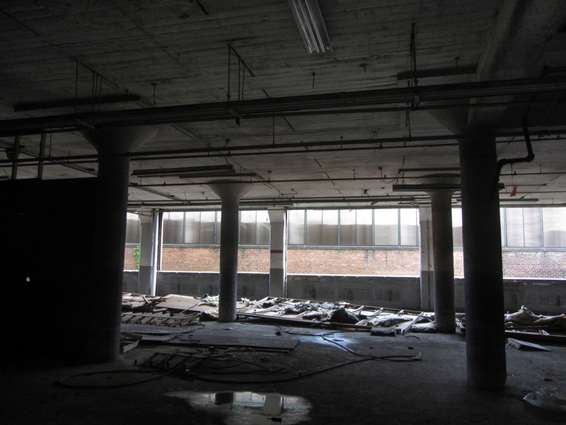
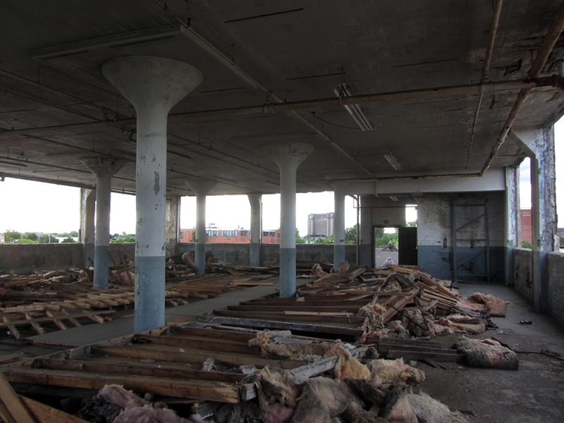
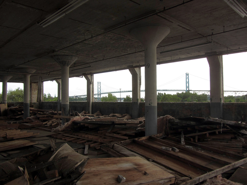
All the scrap wood on the floor appears to have been the material that was covering all the windows before Maroun paid people to go in and rip it all out, to be replaced with nothing.
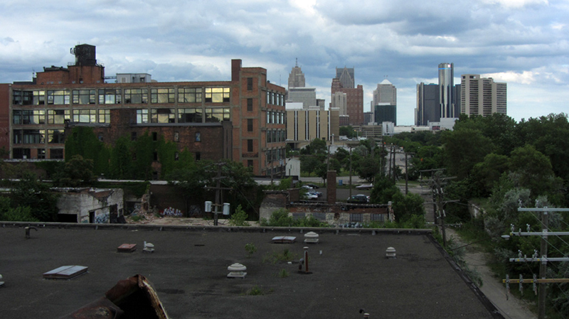
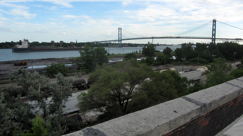
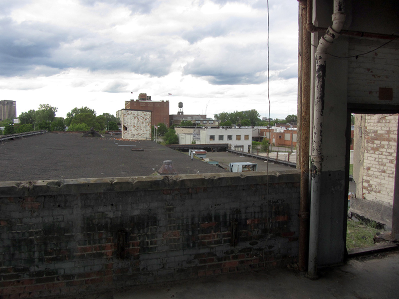
This photo looks out from an upper floor of the taller, reinforced concrete addition to the rear of the plant, over the roof of what was the original, timber-constructed part of the plant fronting on Fort Street:

This sticker I saw on the side of a network server on the first floor while exiting the building made me decide to take a picture of it for reference:

Thanks to Clarence Burton once again, it would seem that in 1911 Robert A. Patrick of Detroit's Dresskell Paper Co. was approached by one of the largest paper firms in the nation, Bermingham & Seaman Co. of Chicago, regarding setting up operations in the Detroit market. The new venture was dubbed the Seaman-Patrick Paper Co. in 1917. Seaman-Patrick owned this building for a time, though they now reside at the 2000 Howard Street address shown on the sticker. I explored 2000 Howard in a different post.

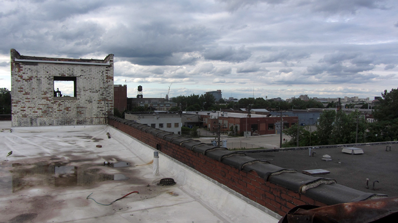
An aerial view of the Tullar Envelope plant and its surroundings (click to enlarge):
I wrote a lot about Michigan's connection to the history of refrigeration in other posts on this website:
The "Cathedral of Refrigeration"
How Detroit and the Yoopee Used to be Connected
Acme Jackson
'Welcome to the Jungle' ~or~ 'Reefer Madness'
Arctic Ice Cream
References:
The City of Detroit, Michigan, 1701-1922, by Clarence Monroe Burton, p. 687
The Directory of Michigan Manufacturers, 1980, p. 470
Industrial Detroit: The Variety and Scope of Manufacturing Industries in the Fourth City (1930), p. 18
The Book of Detroiters, Second Edition (1914), by Albert Nelson Marquis, p. 494
American Stationer and Office Manager, Vol. 83 (1918), p. 24
Michigan Department of Labor Thirty-Seventh Annual Report, 1920, p. 280
http://www.michigancompanieslist.com/tullar-envelope-company-63l0/
Lockwood's Directory of the Paper and Stationary Trade (1918), p. 435
By the way, one should not confuse this Mr. Tullar with Mr. Tuller, a downtown Detroit hotel chain owner who lived during the same time period.

Somewhere, a publication exists about the company entitled "Fifty Years of Envelope Making," which was printed in 1951, so if my math is correct, I have to assume that means that Tullar Envelope was indeed founded in 1901.
Marquis writes that Chester Tullar was a Methodist, a Rotarian, a member of the Detroit Board of Commerce, and the Detroit Credit Men's Association. His office was listed at 67 Larned, and his residence was at 201 Hazelwood (note: these addresses predate the city-wide renumbering in 1920).
I've come across commonly placed Tullar adverts in 1920s-era trade periodicals for "SMALL ENVELOPES," giving the dimensions (usually only a couple inches in size), for "enclosing small articles produced by automatic machinery at very reasonable prices." Another of Tullar's commonly seen ads promoted their "WINDOW ENVELOPES," in slightly larger sizes, on stock that could be had in "whites, manilas, and tints," made at the "Most complete plant in the Middle West."
A Michigan Department of Labor report from 1920 shows that in that year the plant had a total workforce of 37 people, 24 of whom were female, and all of which were above the age of 16.

An article in a circa-1918 trade publication I found via Google Books, the American Stationer and Office Manager, tells of the business of the Tullar Envelope Co., and their place in the market. The company's offices are this time listed at 39 W. Congress, while a different publication from the same year lists them at 45 W. Congress (again, by the old numbering system).
The article explains that Tullar mostly made envelopes for business, and that in fact Detroit was "one of the big national users of stationary," making the choice to locate a plant here that could produce all kinds of custom envelopes a very "timely" decision. Their machinery could be set up to make the largest or smallest envelopes, as well as any shape desired. Again, much of the plant's work was in specialty orders for demanding commercial customers, and did not "cater to fancy trade." There was also a department of the plant given over entirely to the production of special envelopes for circulars and advertising matter.
The large building in this next photo with the big tinted windows actually used to belong to the Chope-Sievens Paper Co., now converted to lofts:
Chester Tullar applied for a patent on an innovation of his in March of 1932, a removable opaque insert for window envelopes. In the language of his application, he explained that window envelopes, while designed to allow the name and location of the addressee to be seen without having to reprint it on the outside of an envelope, "are open to the objection that unless the paper surrounding the window is opaque, letters inclosed in the envelope may be easily read upon holding the same over an electric or other strong light."
It was the purpose of his invention "to overcome these and other objectional features of the window envelope while still retaining the advantages secured through its use." Tullar's patent was granted in June of 1934, and has since been referenced in four other succeeding patents, the most recent of which was filed in 1997.
A February, 1946 article in a Rochester, New York newspaper tells of the Detroit Tullar Envelope plant's acquisition by the Rochester Envelope Co. The article also implied that Tullar Envelope was actually a subsidiary of Rochester Envelope at that time. This plant contained 40,000 square feet of space according to the article, which would help the Rochester company "make room" for its "rapidly expanding business in that area."
A Michigan State University archive holds the records of the International Brotherhood of Teamsters union, and by browsing in the collection's catalogue it appears as though the Tullar Envelope plant's employees were organized under Teamsters Local #299—at least for the years 1956 to 1959, which are the dates of the records held in that collection.
You may recognize that local as the one that famous Detroit labor agitator Jimmy Hoffa was chosen to lead in 1946. Local #299 still resides nearby today at 2741 Trumbull.
The Tullar Envelope Co. was still listed in the Directory of Michigan Manufacturers as of 1980, and a Michigan business directory website shows the company as having been dissolved on February 18, 1986. I assume that was when this plant was abandoned for good, though parts of it may still have served in some small capacity in the interim.
All the scrap wood on the floor appears to have been the material that was covering all the windows before Maroun paid people to go in and rip it all out, to be replaced with nothing.
This photo looks out from an upper floor of the taller, reinforced concrete addition to the rear of the plant, over the roof of what was the original, timber-constructed part of the plant fronting on Fort Street:
This sticker I saw on the side of a network server on the first floor while exiting the building made me decide to take a picture of it for reference:
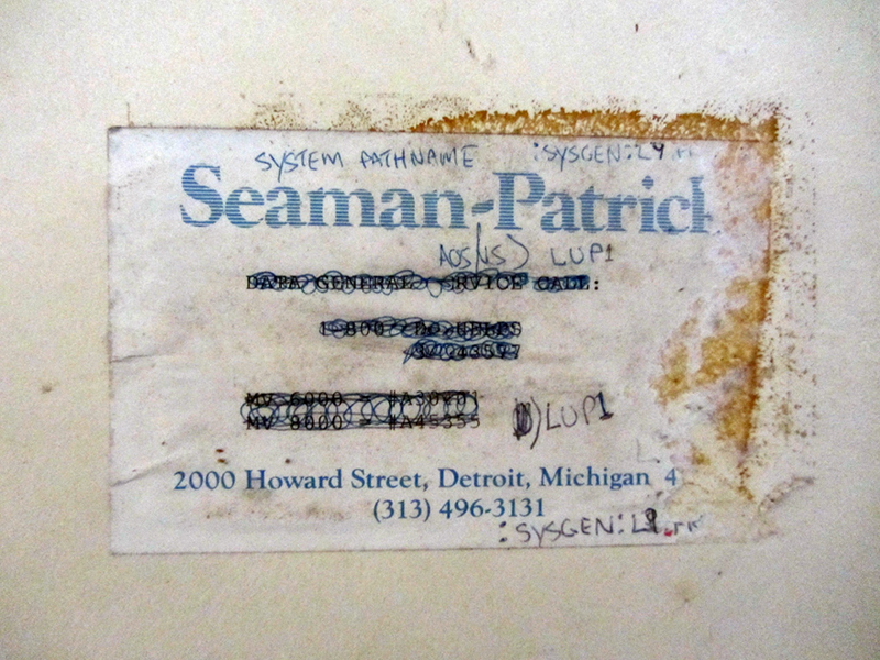
Thanks to Clarence Burton once again, it would seem that in 1911 Robert A. Patrick of Detroit's Dresskell Paper Co. was approached by one of the largest paper firms in the nation, Bermingham & Seaman Co. of Chicago, regarding setting up operations in the Detroit market. The new venture was dubbed the Seaman-Patrick Paper Co. in 1917. Seaman-Patrick owned this building for a time, though they now reside at the 2000 Howard Street address shown on the sticker. I explored 2000 Howard in a different post.

 |
| Image from Google Maps |
The "Cathedral of Refrigeration"
How Detroit and the Yoopee Used to be Connected
Acme Jackson
'Welcome to the Jungle' ~or~ 'Reefer Madness'
Arctic Ice Cream
References:
The City of Detroit, Michigan, 1701-1922, by Clarence Monroe Burton, p. 687
The Directory of Michigan Manufacturers, 1980, p. 470
Industrial Detroit: The Variety and Scope of Manufacturing Industries in the Fourth City (1930), p. 18
The Book of Detroiters, Second Edition (1914), by Albert Nelson Marquis, p. 494
American Stationer and Office Manager, Vol. 83 (1918), p. 24
Michigan Department of Labor Thirty-Seventh Annual Report, 1920, p. 280
http://www.michigancompanieslist.com/tullar-envelope-company-63l0/
Lockwood's Directory of the Paper and Stationary Trade (1918), p. 435
"Envelope Firm Buys Factory in Detroit," The Daily Record (Rochester, NY), Feb. 20, 1946
Princeton Alumni Weekly, Volume 49 (July, 1949), p. 48
Sanborn Map, Detroit, Vol. 1, Sheet 38 (1897)
Sanborn Map, Detroit, Vol. 1, Sheet 38 (1921)
Sanborn Map, Detroit, Vol. 1, Sheet 20 (1884)
Brewed in Detroit: Breweries and Beers Since 1830, Vol. 1, by Peter H. Blum, p. 101
http://detroithistorical.org/learn/encyclopedia-of-detroit/kelvinator-corporation
The Technology Century, by the Engineering Society, edited by Mike Davis p. 208-210
R.L. Polk & Co.'s Detroit City Directory, 1882 to 1920