
I resolved to execute a trip back to the Houghton area as soon as spring sprung in da Yoopee, to find some new ruins that had been brought to my attention. I also wanted to finally check out the ruins of the Fayette State Park, which is a "preserved" ghost town.
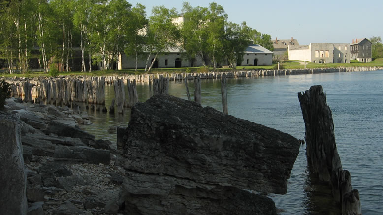
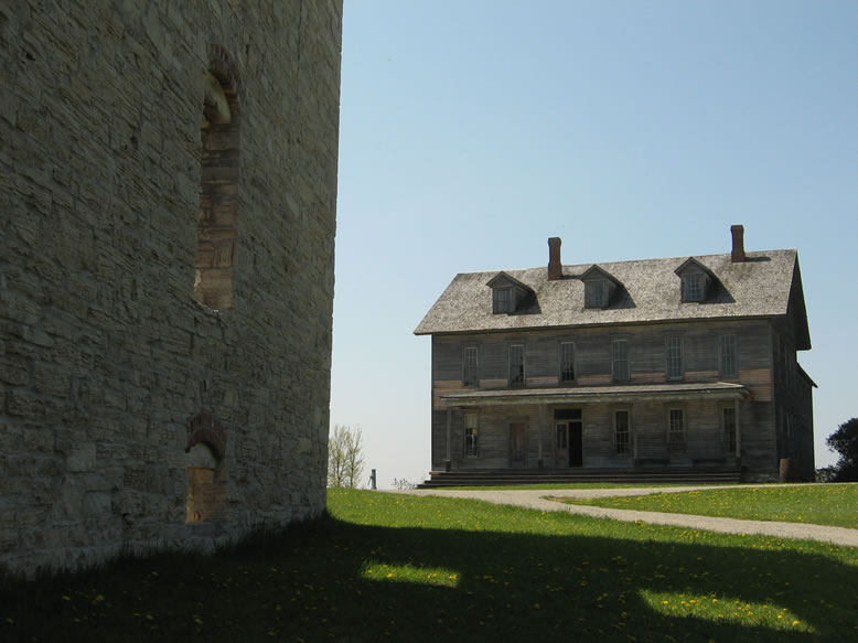
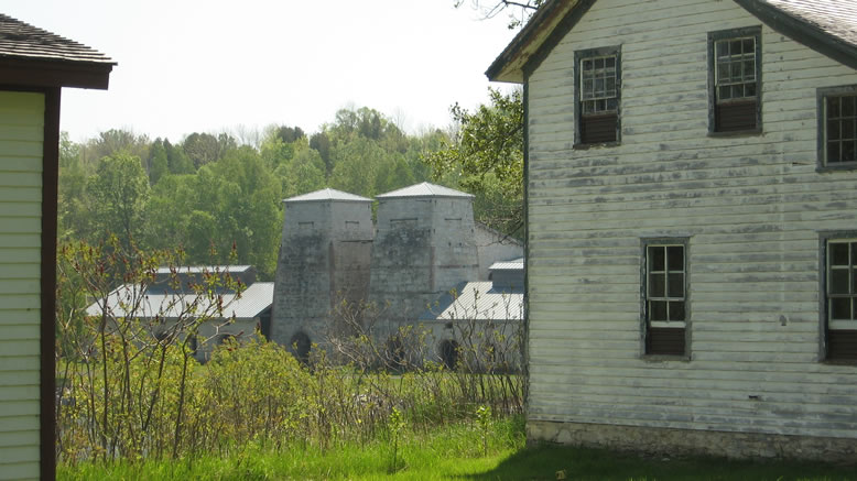
Fayette used to be a disgusting industrial hellhole based around an iron smelter for the Jackson Iron Co., and for a long time after that business dried up, it sat forgotten. Now its ruins are a tranquil, beautiful state park. It's located near the bottom tip of the Garden Peninsula, which juts down into Lake Michigan. This is one of the more remote places in da Yoopee.

My plan (as always) was mostly to just "wing it" though there was some suave calculation on my part; I struck during the week before Memorial Day weekend, right at the beginning of Bug Season. Why have I capitalized "Bug Season?" Because it's a "thing" here.
The week before, while I was looking (unsuccessfully) for the ancient stone ruins in Negwegon State Park south of Alpena, I could just see clouds of mosquitos riving around like wisps of smoke. And I heard a sound like the high-pitched whine of big truck tires at high speed on the interstate. Then it occurred to me that I-75 was much too far away to be heard. The sound was that of the googolplexes of swarming mosquito wings. Thank god I was wearing 100% DEET, or I would've been sucked so dry by those bastards I woulda been nailhed-style jerky.
Anyway, going during dreaded Bug Season (and during the week) means no tourist traffic clogging the freeway. And before Memorial Day means no demented hike on gas prices. I slept in my car at Naubinway like usual, then continued on in the morning. The outside of my car had become encased in mosquitoes overnight.
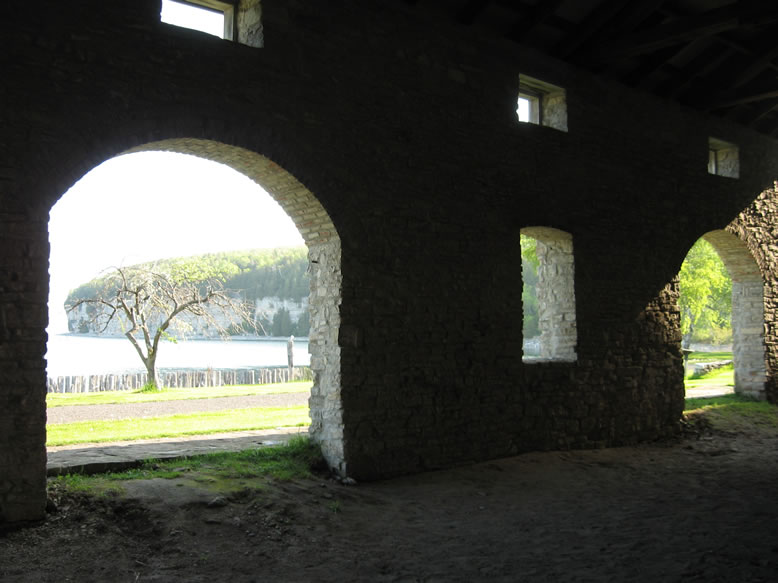
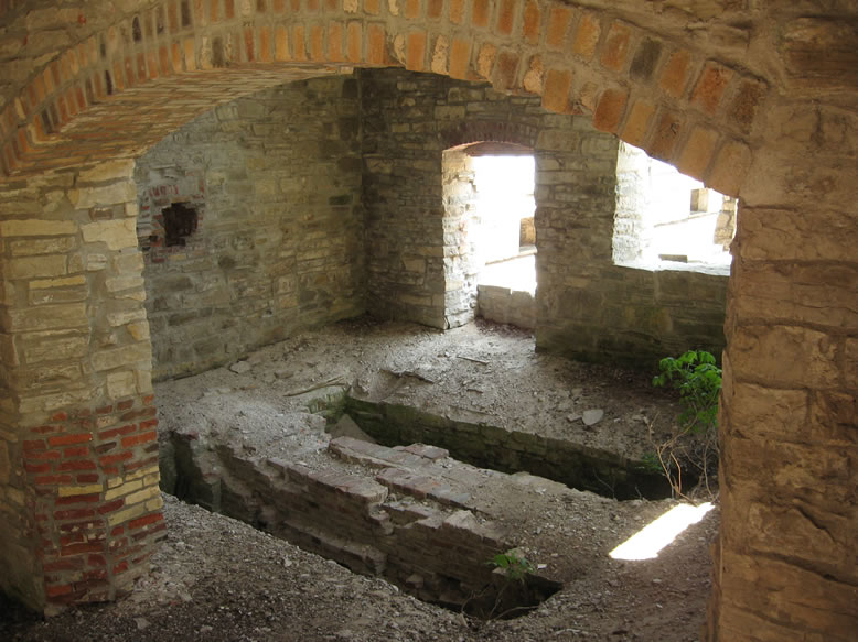
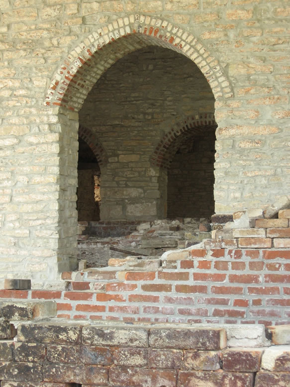
Here's one of the furnaces:
The iron mining operations of Michigan existed in two main areas, the Gogebic Range in the southwestern Yoopee, and the Marquette Range in the central Yoopee. Iron ore mined in the Marquette Range would be sent by rail to the ports of Lake Superior (mainly Marquette) where it would be loaded onto freighters, and ore mined in the Gogebic Range would be sent by rail to ports on Lake Michigan (mainly Escanaba). Thus, each range served a different market, and accordingly, different steel-making cities.
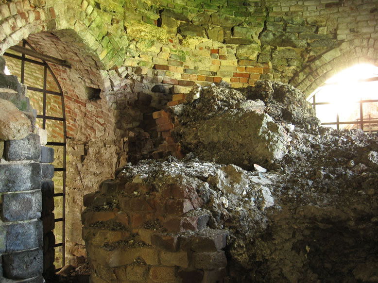
But often, in the early days before the transportation lines were able to support very much capacity, iron was smelted before it was shipped to the steel mill. That way there was not as much material to load onto a ship once it was purified, so little smelting towns like Fayette grew up along the shores of the lakes where it was convenient to do so. One thing that was needed was plenty of timber to feed the charcoal kilns, which in turn produced charcoal to fuel the smelter. A supply of quality limestone was also needed. Fayette filled that bill perfectly.
Just outside the furnace building was a set of charcoal kilns; conical structures that used to be a much more common sight in the Upper Peninsula of yore:
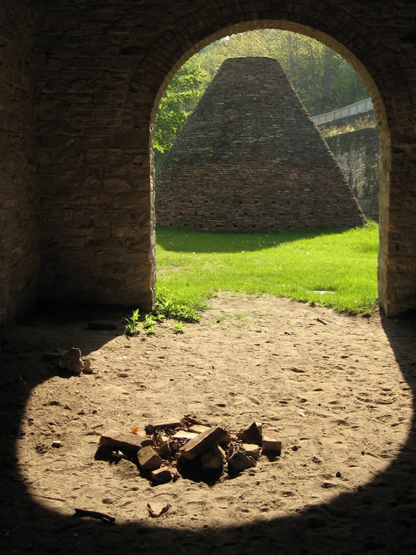
As ships got bigger and more numerous, the shipping lanes got safer, and the forests got depleted, iron smelting faded away from the Yoopee, leaving behind these monolithic ruins. Through the late 1800s when these sites were left to moulder, the hollow-domed structures of the charcoal kilns easily caved in, while the heavy-duty furnaces remain mostly intact.
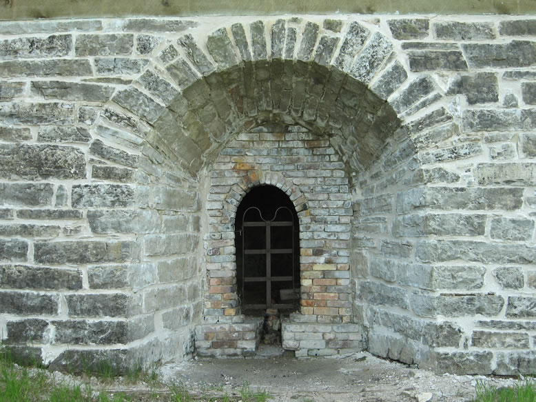
Just beyond the charcoal kilns was a small lime kiln as well, for a complete set:
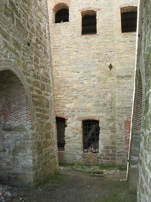
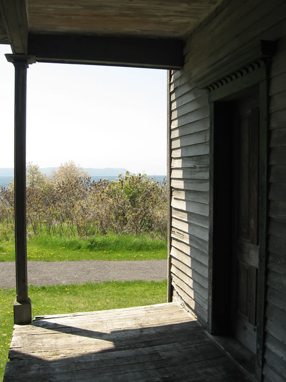
Jackson Iron Co. built the Fayette Smelter in 1867 and it operated until 1891 when the nearby forest was nearly used up. The Jackson Mine itself closed in 1901, and was later bought up by Cleveland-Cliffs. Oddly enough however, the eerie ruins and ghost town that remained here became a sort of tourist attraction after the turn of the century. Boats full of tourists, vacationers, and early ruin pornographers came from Escanaba often enough to justify keeping the town's old inn open for many years thereafter:
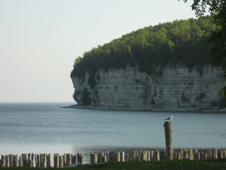
I walked the shattered limestone shoreline for a couple miles around the entire harbor, and basked in the pristine solitude for several hours.
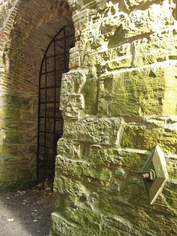
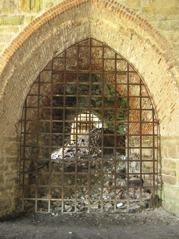
Some were still standing:
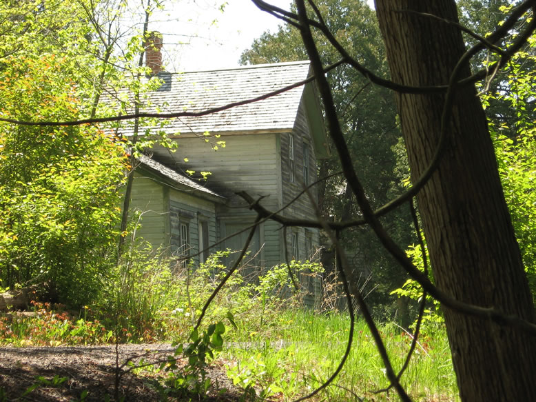
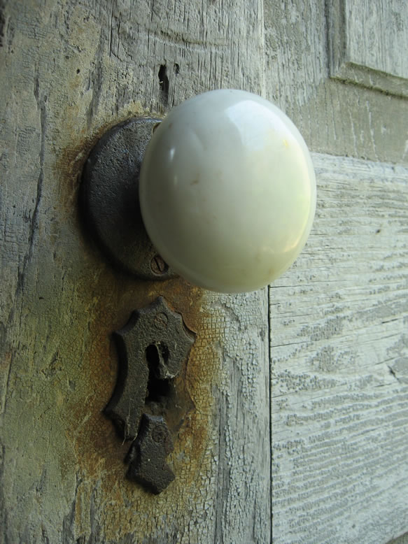
One was accessible...
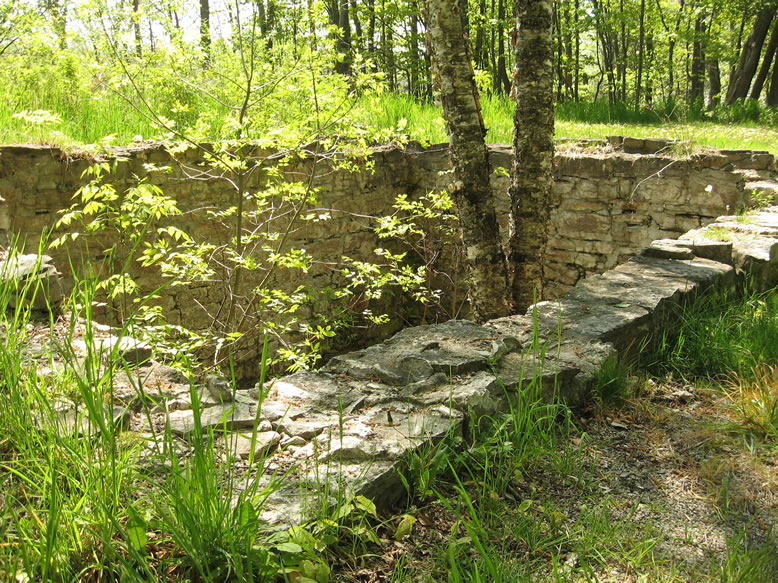
Archaeology is even being conducted in many areas of the site:
From Fayette I trekked to the Superior shore on M-94 and arrived in Copper Country by evening. As I was cruising along Lake Superior outside of L'Anse, I saw a huge Bald Eagle soaring down along the beach. I'd always known they hung out up north and could be found, but it was crazy to see one cruising next to my car as I drove along the pristine beach.
Before sunset I made it out to Freda, an absolutely minuscule settlement that has been classified by some as a ghost town, though about 20 people still live there on the shores of mighty Lake Superior. I came to check out the ruins of the Champion Stamp Mill there.

Anyways, there is a cliff with a veteran's monument overlooking the ruins of the Champion Mill on the lake. Reading through the names of Freda's war dead from WWII, Korea, Vietnam, etc., I noticed that there were often several in a row with the same family name. Almost all of the names were Finnish.

Copper County Explorer explains that the Atlantic Mill was built first, in 1895, and the rest were built by 1901. The Champion Mill was the only one of the five to survive until the end of the Michigan copper mining era in the 1960s.


Naturally, stamping copper ore into slime required a lot of water (to pollute), so any stamp mill worth its salt is going to be located near a large lake.
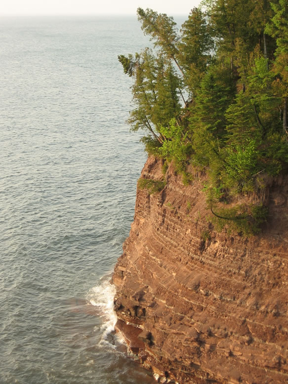
Just up the trail from the mill ruin were some pretty impressive sandstone cliffs:
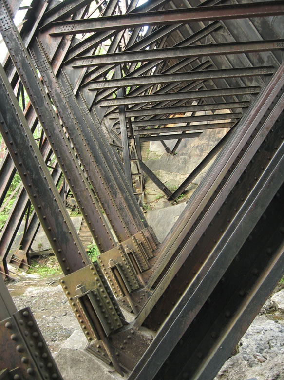

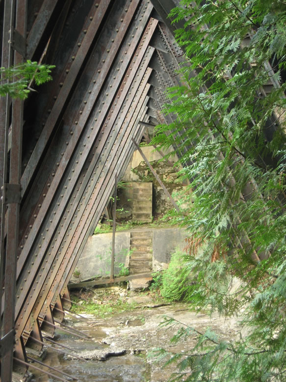
What sets Redridge apart from the other two is that instead of having its supports anchored into bedrock, it needed a concrete foundation due to the local sandstone here being too brittle to use. It was designed and built by the Wisconsin Bridge & Iron Company. By the way, the dam in Arizona failed in 1908 and was destroyed, so only Michigan's and Montana's steel dams remain today.
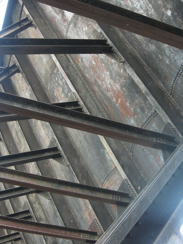
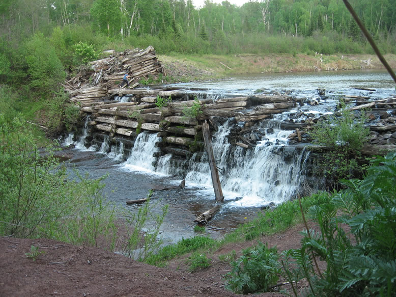
"In 1888, the only dwellings at the mouth of the Salmon Trout River were five wigwams," Lawrence Molloy says in Guide to Michigan's Historic Keweenaw Copper District. By 1894, they were gone; the first timber dam here was constructed that year by the Atlantic Mining Co., whose stamp was the first one built in this area. But of course as they expanded and the Baltic Mill joined the scene, a bigger reservoir was needed, which was when the massive steel wall you see here (and the elevated railroad line crossing it) came into being.
One would think that a stamp mill built on Lake Superior would just pump its water straight from the lake, and most of them did. But for whatever reason, the first two mills that were built here--Atlantic and Baltic--chose to build a dam all the same.
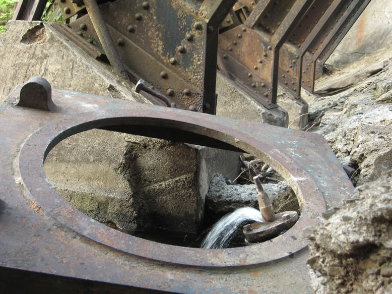
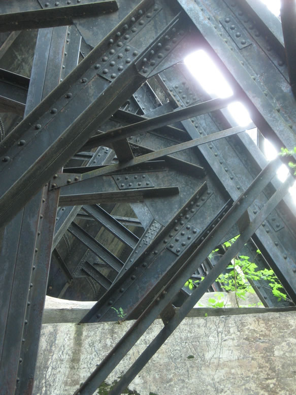
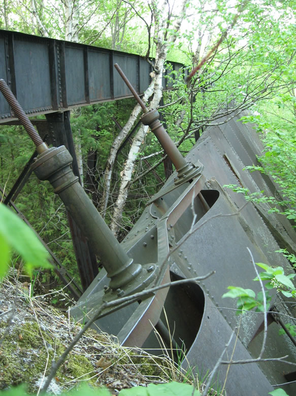
After the mines of the southern copper range closed, the engineers ceased maintaining Redridge Dam, and left its valves open to allow water to pass through safely. But there were still times when it would flood, such as on Easter morning of 1941, possibly due to a sudden snowmelt. Finally, rectangular holes were cut in the bottom of the dam in 1979 to drain the reservoir and keep the water level down. When that happened, the original c.1894 timber dam behind it was revealed once again:
After I was done ogling the forest of iron that makes up the dam's supports, I slept in my car again partially because there were no campsites around, and partly to avoid the mosquitos.
References:
http://www.coppercountryexplorer.com/explorations/mills/champion-mill/
Guide to Michigan's Historic Keweenaw Copper District, by Lawrence Molloy
Upper Peninsula of Michigan, An Inventory of Historic Engineering and Industrial Sites, HAER, 1978